Free Trade Zone · China

Huixian City Industrial Cluster Area Active
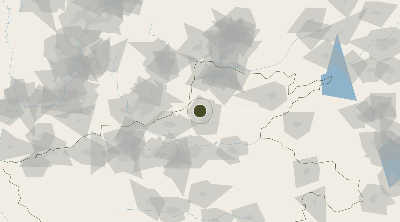
35.4891°, 113.7810°
970 ha
Zone area
509.0 km
Nearest port
70.0 km
Nearest airport

Gateway access

Nearest neighbours — logibook spatial index (haversine) over the source coordinates

Zone profile

Zone type
Free Trade Zone
Open Zone Map
Region
Henan
Open Zone Map
Status
Active
Open Zone Map
Management
Public
Open Zone Map
Operator
Working Committee of Huixian City Industrial Cluster Area
Open Zone Map
Legal framework
Huixian city industrial cluster planning eia tracking evaluation of the second public
Open Zone Map

Location

Location of ozm-1535
Natural Earth 10m (public domain) · Henan · ozm-1535 · 35.49, 113.78GoogleOSMYandex

Nearby Logistics Neighbours

Ports
  1. 1Lanshan509 km
  2. 2Lianyungang522 km
  3. 3Rizhao524 km
  4. 4Tianjin Xin Gang527 km
  5. 5Hankow548 km
Nearest neighbours — logibook spatial index (haversine) over the source coordinates
Airports
  1. 1Zhengzhou Air Base70 km
  2. 2Anyang Hongqiqu Airport75 km
  3. 3Kaifeng Air Base96 km
  4. 4Changzhi Wangcun Airport103 km
  5. 5Zhengzhou Xinzheng International Airport107 km
Nearest neighbours — logibook spatial index (haversine) over the source coordinates
Cities
  1. 1Xinxiang22 km
  2. 2Dazhaoying25 km
  3. 3Hebi54 km
  4. 4Jiaozuo63 km
  5. 5Zhengzhou81 km
Nearest neighbours — logibook spatial index (haversine) over the source coordinates
Trade Zones
  1. 1Huojia County Industrial Cluster Area25 km
  2. 2Yanjin County Industrial Cluster37 km
  3. 3Xiuwu County Industrial Cluster43 km
  4. 4Yuanyang County Industrial Cluster52 km
  5. 5Puyang County Industrial Cluster54 km
Nearest neighbours — logibook spatial index (haversine) over the source coordinates
DatabookThe Record of Consolidated Knowledge
China beyond logistics?
Browse databook

All Sources

Trade ZonesOpen Zone Map
CC BY
Portsthe NGA World Port Index
Public domain (US gov)
AirportsOurAirports
Public domain
LocationsUN/LOCODE
UN/LOCODE — free
← China trade zones