Diversified Zone · China
Anyang City Industrial Cluster Active
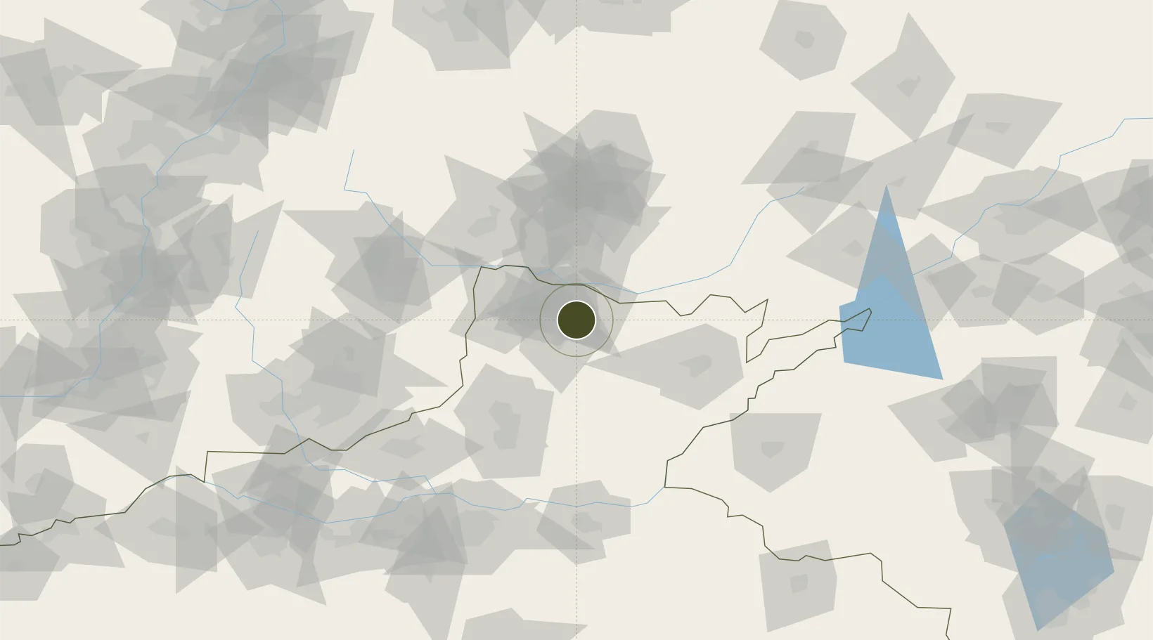
36.0324°, 114.2991°
1,732 ha
Zone area
451.2 km
Nearest port
23.2 km
Nearest airport
Gateway access
Zone profile
Zone type
Diversified Zone
Region
Henan
Status
Active
Management
Public
Operator
Management Committee of Anyang City Industrial Cluster
Legal framework
Regulations on Taxation Policies of National High-Tech Industrial Development Zones Approved by State Council of the People's Republic of China Mar 6, 1991; Administrative Measures for the Recognition of High-tech Enterprises; Ministry of Science and Tech
Location
Nearby Logistics Neighbours
Ports
- 1Tianjin Xin Gang451 km
- 2Lanshan470 km
- 3Rizhao481 km
- 4Lianyungang489 km
- 5Qingdao Gang537 km
Airports
- 1Anyang Hongqiqu Airport23 km
- 2Handan Airport56 km
- 3Changzhi Wangcun Airport108 km
- 4Zhengzhou Air Base140 km
- 5Kaifeng Air Base142 km
Cities
- 1Hebi31 km
- 2Puyang73 km
- 3Xinxiang90 km
- 4Dazhaoying98 km
- 5Jiaozuo136 km
DatabookThe Record of Consolidated Knowledge
China beyond logistics?