Large airport · Christmas Island

Christmas Island International AirportYPXM
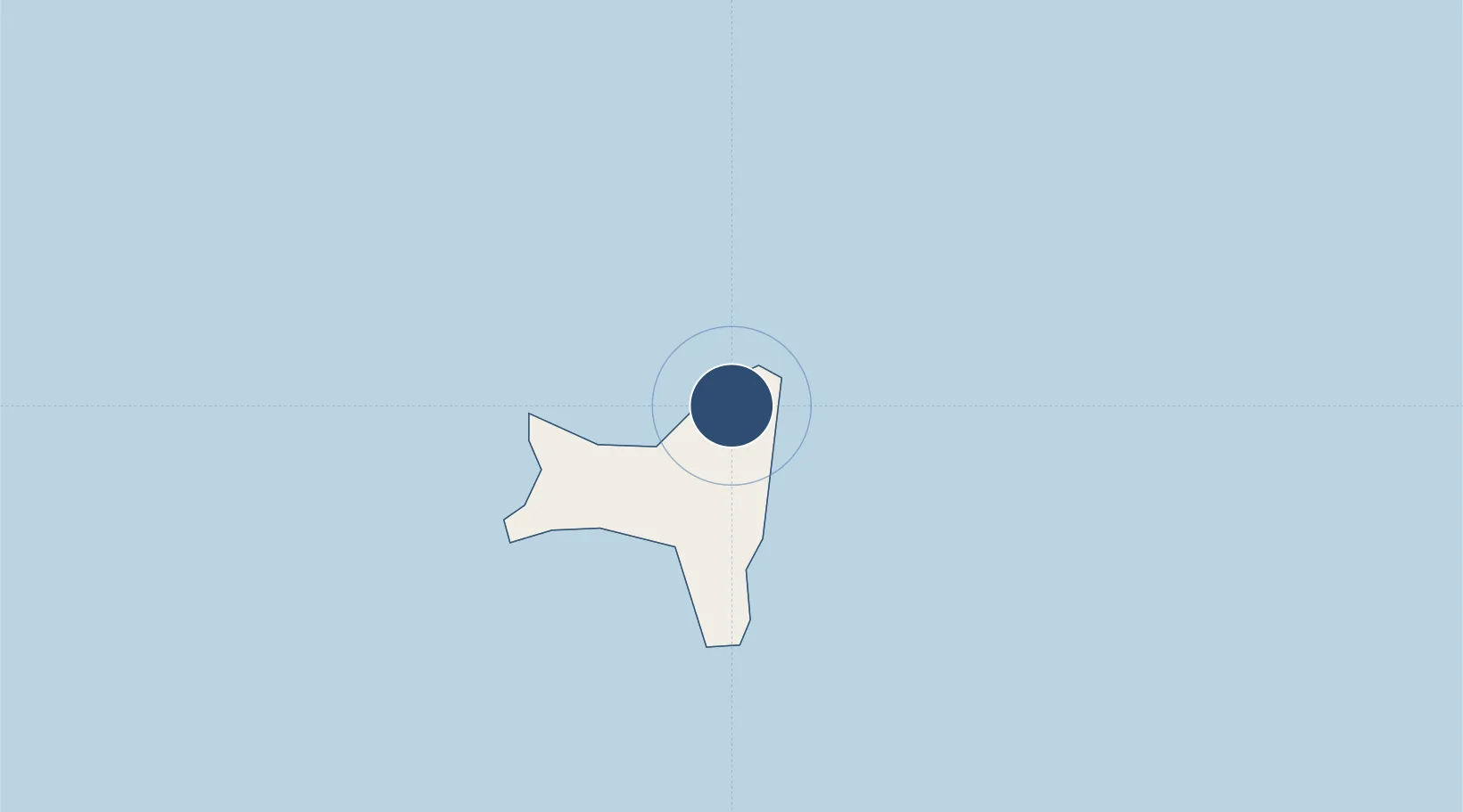
-10.4504°, 105.6911°
6,900 ft
Longest runway
1
Runways
916 ft
Elevation

Runway & Layout

Christmas Island International Airport runway & taxiway layout
Runway & taxiway layout — OpenStreetMap (ODbL) / OurAirports

Radio Frequencies

CTAF
122.8 MHz
FSS
347 MHz
RDO
OurAirports

Navaids

XMX VOR-DME Christmas Island 112.40 MHz
OurAirports

Runways · 1

RunwayDimensions SurfaceTrue headingLit
18/36 6,900 × 148ft Asphalt 175°
OurAirports

Airport Specifications

IATA code
XCH
OurAirports
ICAO code
YPXM
OurAirports
Airport class
Large airport
OurAirports
Scheduled service
Yes
OurAirports
Runway surface
Asphalt
OurAirports
Served city
Flying Fish Cove
OurAirports

Location

Location of YPXM
Natural Earth 10m (public domain) · Christmas Island · YPXM · -10.45, 105.69GoogleOSMYandex

Nearby Logistics Neighbours

Airports
  1. 1Nusawiru Airport432 km
  2. 2Husein Sastranegara International Airport446 km
  3. 3Tunggul Wulung Airport482 km
  4. 4Halim Perdanakusuma International Airport484 km
  5. 5Soekarno-Hatta International Airport493 km
Nearest neighbours — logibook spatial index (haversine) over the source coordinates
Cities
  1. 1Flying Fish Cove5 km
  2. 2Nagrak427 km
  3. 3Pasar Rebo465 km
  4. 4Koja468 km
  5. 5Cilacap (Tjilatjap)473 km
Nearest neighbours — logibook spatial index (haversine) over the source coordinates
Ports
  1. 1Flying Fish Cove4 km
  2. 2Cilacap473 km
  3. 3Anyer Lor490 km
  4. 4Banten494 km
  5. 5Jakarta501 km
Nearest neighbours — logibook spatial index (haversine) over the source coordinates
Trade Zones
  1. 1KEK Tanjung Lesung441 km
  2. 2Rancaekek Industrial Estate452 km
  3. 3Sentul Industrial Estate455 km
  4. 4Cibinong Center Industrial Estate462 km
  5. 5BSD City Industrial Estate470 km
Nearest neighbours — logibook spatial index (haversine) over the source coordinates
DatabookThe Record of Consolidated Knowledge
Christmas Island beyond logistics?
Browse databook

All Sources

AirportsOurAirports
Public domain
Portsthe NGA World Port Index
Public domain (US gov)
LocationsUN/LOCODE
UN/LOCODE — free
Trade Zonesthe World Bank SEZ database
CC BY 4.0
Trade ZonesOpen Zone Map
CC BY
← Christmas Island airports