Diversified Zone · Indonesia

Sentul Industrial Estate Active
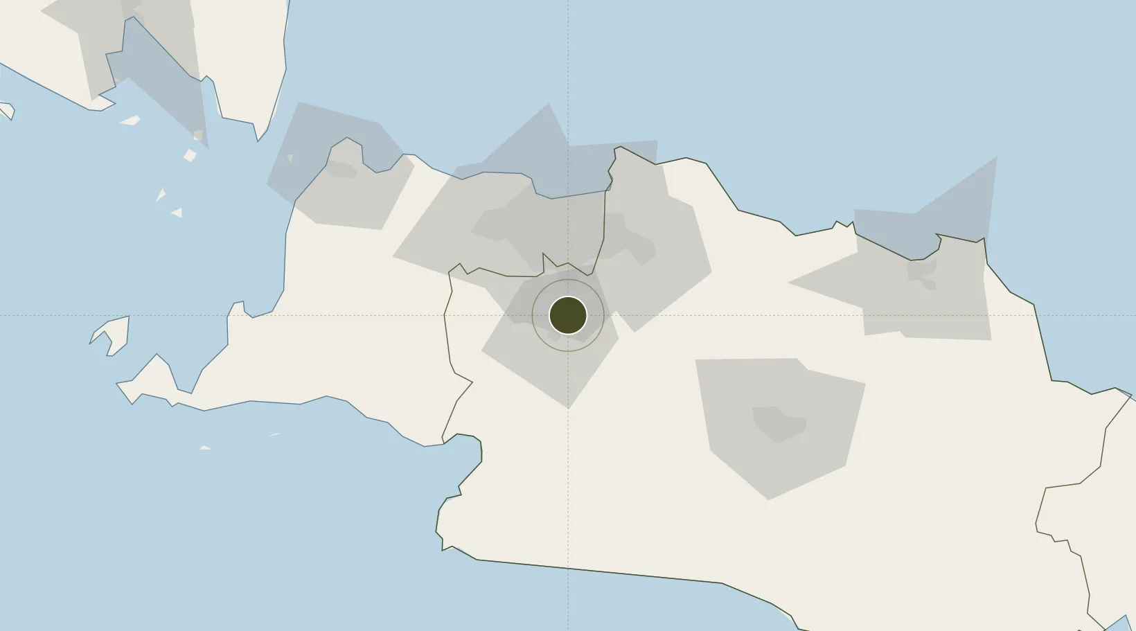
-6.5260°, 106.8539°
120 ha
Zone area
47.5 km
Nearest port
29.1 km
Nearest airport

Gateway access

Nearest neighbours — logibook spatial index (haversine) over the source coordinates

Zone profile

Zone type
Diversified Zone
Open Zone Map
Region
Jawa Barat
Open Zone Map
Status
Active
Open Zone Map
Management
Private
Open Zone Map
Operator
PT. Bogorindo Cemerlang
Open Zone Map
Legal framework
The Law No 3. Article 106, issued in 2014
Open Zone Map

Location

Location of ozm-2343
Natural Earth 10m (public domain) · Jawa Barat · ozm-2343 · -6.53, 106.85GoogleOSMYandex

Nearby Logistics Neighbours

Ports
  1. 1Jakarta48 km
  2. 2Banten113 km
  3. 3Tanjung Sekong116 km
  4. 4Merak Mas Terminal116 km
  5. 5Anyer Lor116 km
Nearest neighbours — logibook spatial index (haversine) over the source coordinates
Airports
  1. 1Halim Perdanakusuma International Airport29 km
  2. 2Soekarno-Hatta International Airport50 km
  3. 3Husein Sastranegara International Airport90 km
  4. 4Kertajati International Airport146 km
  5. 5Nusawiru Airport224 km
Nearest neighbours — logibook spatial index (haversine) over the source coordinates
Cities
  1. 1Pasar Rebo19 km
  2. 2Jakarta Pusat38 km
  3. 3Menteng38 km
  4. 4Palmerah39 km
  5. 5Gambir40 km
Nearest neighbours — logibook spatial index (haversine) over the source coordinates
Trade Zones
  1. 1Cibinong Center Industrial Estate8 km
  2. 2BSD City Industrial Estate29 km
  3. 3MM2100 Industrial Town36 km
  4. 4Lippo Cikarang Industrial Estate37 km
  5. 5Bekasi International Industrial Estate37 km
Nearest neighbours — logibook spatial index (haversine) over the source coordinates
DatabookThe Record of Consolidated Knowledge
Indonesia beyond logistics?
Browse databook

All Sources

Trade ZonesOpen Zone Map
CC BY
Portsthe NGA World Port Index
Public domain (US gov)
AirportsOurAirports
Public domain
LocationsUN/LOCODE
UN/LOCODE — free
← Indonesia trade zones