Diversified Zone · Indonesia

Cibinong Center Industrial Estate Active
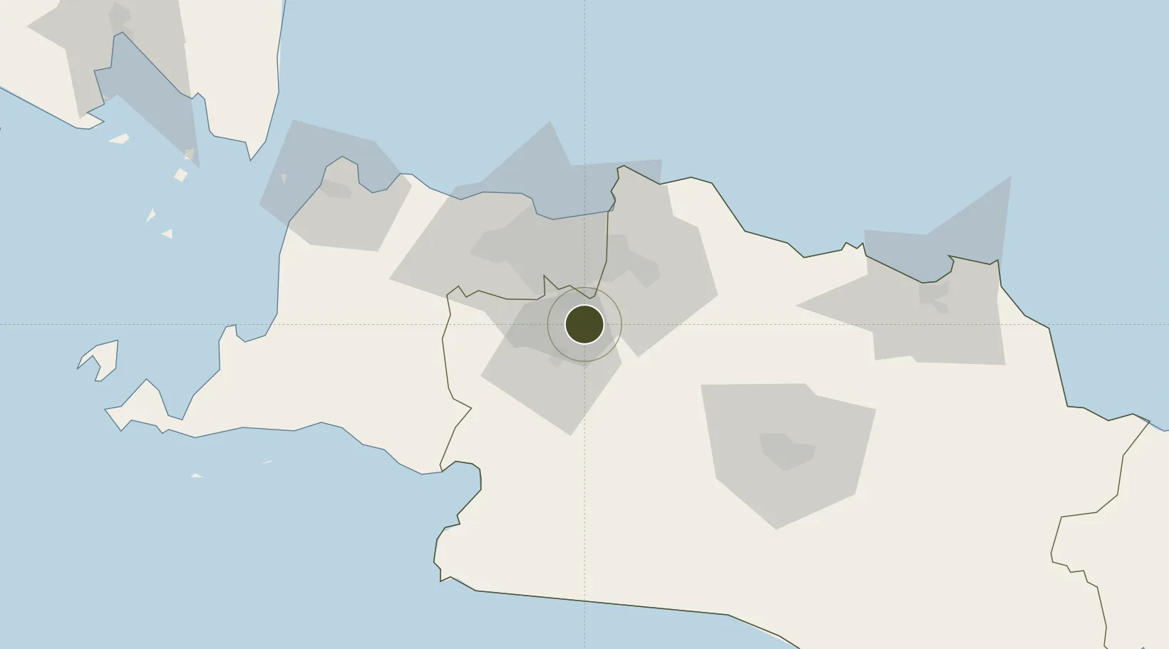
-6.4733°, 106.9057°
140 ha
Zone area
41.6 km
Nearest port
23.0 km
Nearest airport

Gateway access

Nearest neighbours — logibook spatial index (haversine) over the source coordinates

Zone profile

Zone type
Diversified Zone
Open Zone Map
Region
Jawa Barat
Open Zone Map
Status
Active
Open Zone Map
Management
Public
Open Zone Map
Operator
PT. Cibinong Center Industrial Estate
Open Zone Map
Legal framework
The Law No 3. Article 106, issued in 2014
Open Zone Map

Location

Location of ozm-2348
Natural Earth 10m (public domain) · Jawa Barat · ozm-2348 · -6.47, 106.91GoogleOSMYandex

Nearby Logistics Neighbours

Ports
  1. 1Jakarta42 km
  2. 2Ardjuna Oil Field111 km
  3. 3Banten116 km
  4. 4Tanjung Sekong118 km
  5. 5Merak Mas Terminal118 km
Nearest neighbours — logibook spatial index (haversine) over the source coordinates
Airports
  1. 1Halim Perdanakusuma International Airport23 km
  2. 2Soekarno-Hatta International Airport48 km
  3. 3Husein Sastranegara International Airport88 km
  4. 4Kertajati International Airport141 km
  5. 5Nusawiru Airport223 km
Nearest neighbours — logibook spatial index (haversine) over the source coordinates
Cities
  1. 1Pasar Rebo21 km
  2. 2Jakarta Pusat33 km
  3. 3Menteng33 km
  4. 4Jababeka35 km
  5. 5Palmerah35 km
Nearest neighbours — logibook spatial index (haversine) over the source coordinates
Trade Zones
  1. 1Sentul Industrial Estate8 km
  2. 2MM2100 Industrial Town28 km
  3. 3Lippo Cikarang Industrial Estate29 km
  4. 4Bekasi International Industrial Estate29 km
  5. 5BSD City Industrial Estate30 km
Nearest neighbours — logibook spatial index (haversine) over the source coordinates
DatabookThe Record of Consolidated Knowledge
Indonesia beyond logistics?
Browse databook

All Sources

Trade ZonesOpen Zone Map
CC BY
Portsthe NGA World Port Index
Public domain (US gov)
AirportsOurAirports
Public domain
LocationsUN/LOCODE
UN/LOCODE — free
← Indonesia trade zones