UN/LOCODE hub · Australia
AUCHE

Chermside

-27.3833°, 153.1667°
10,136
Population
1
Transport functions

Transport Functions

Port
UN/LOCODE

Hub Profile

Place type
Urban district
GeoNames
Region
Queensland
GeoNames
Population
10,136
GeoNames
Time zone
Australia/Brisbane
GeoNames
Elevation
25 m
GeoNames

Location

Location of AUCHE
Natural Earth 10m (public domain) · Queensland · AUCHE · -27.38, 153.17GoogleOSMYandex

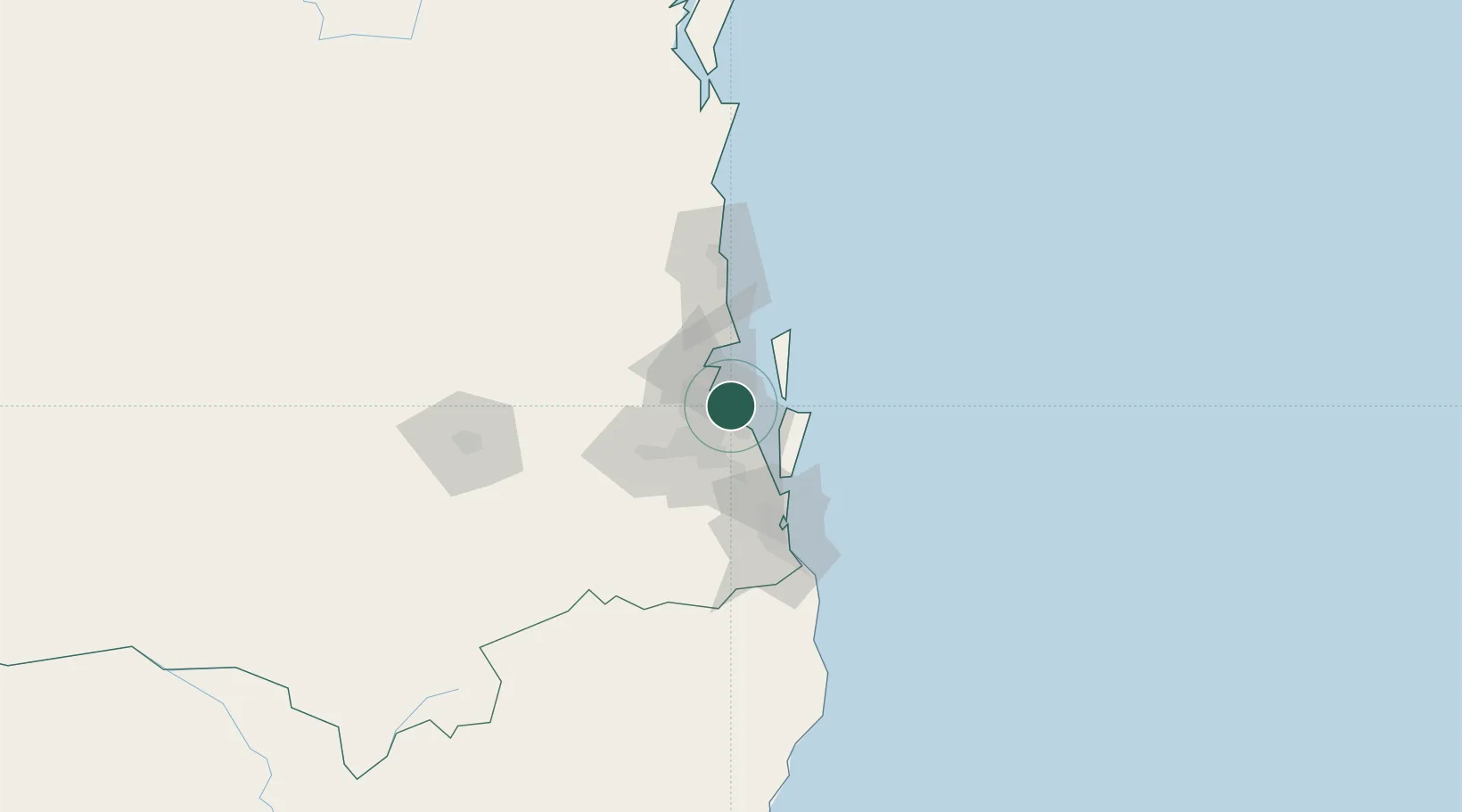
Nearby Logistics Neighbours

Cities
  1. 1Port of Brisbane0 km
  2. 2Lytton4 km
  3. 3Pinkenba6 km
  4. 4Hemmant8 km
  5. 5Brisbane9 km
Nearest neighbours — logibook spatial index (haversine) over the source coordinates
Ports
  1. 1Brisbane16 km
  2. 2Ballina170 km
  3. 3Bundaberg292 km
  4. 4Gladstone437 km
  5. 5Port Alma482 km
Nearest neighbours — logibook spatial index (haversine) over the source coordinates
Airports
  1. 1Brisbane International Airport5 km
  2. 2RAAF Base Amberley53 km
  3. 3Sunshine Coast Airport88 km
  4. 4Gold Coast Airport93 km
  5. 5Toowoomba Wellcamp Airport137 km
Nearest neighbours — logibook spatial index (haversine) over the source coordinates
Trade Zones
  1. 1Latrobe Valley Economic Growth Zone1362 km
  2. 2Vanuatu Economic Development Zone1957 km
  3. 3Paga Hill Estate Special Economic Zone2088 km
  4. 4Tulagi Island Special Economic Zone2161 km
  5. 5Ihu Special Economic Zone2317 km
Nearest neighbours — logibook spatial index (haversine) over the source coordinates
DatabookThe Record of Consolidated Knowledge
Australia beyond logistics?
Browse databook

All Sources

LocationsUN/LOCODE
UN/LOCODE — free
LocationsGeoNames
CC BY 4.0
Portsthe NGA World Port Index
Public domain (US gov)
AirportsOurAirports
Public domain
Trade Zonesthe World Bank SEZ database
CC BY 4.0
Trade ZonesOpen Zone Map
CC BY
← Australia locations