Medium airport · Myanmar (Burma)
Lashio AirportVYLS
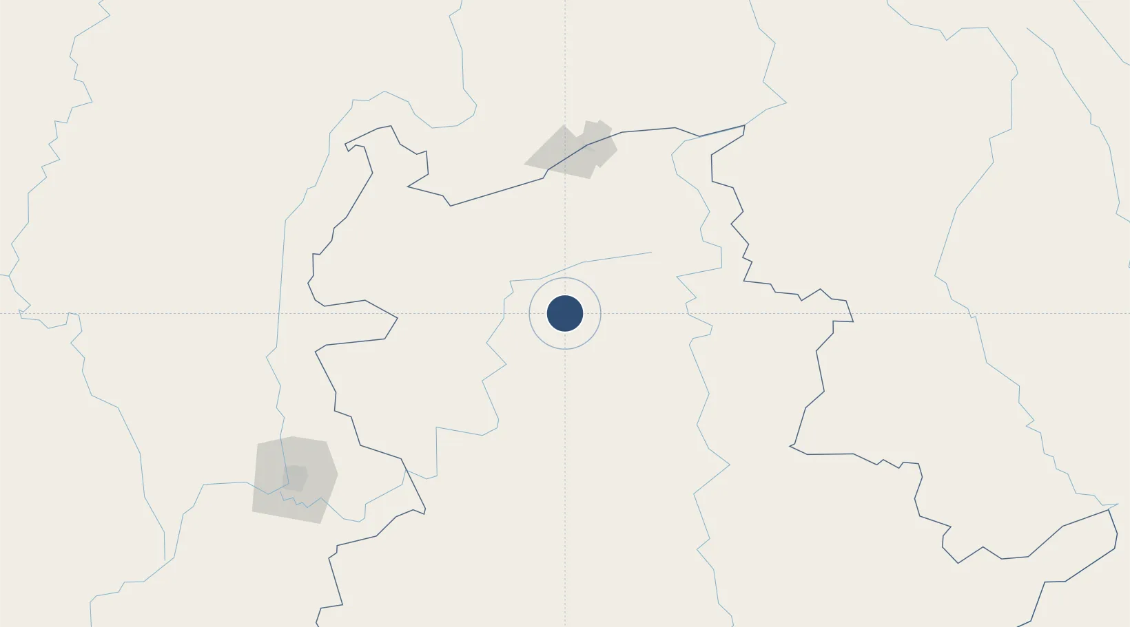
22.9779°, 97.7522°
5,285 ft
Longest runway
1
Runways
2,450 ft
Elevation
Runway & Layout

Radio Frequencies
TWR
118.7 MHz
Navaids
LSO VOR-DME Lashio 116.80 MHz
LSO NDB Lashio 370 kHz
Runways · 1
| Runway | Dimensions | Surface | True heading | Lit |
|---|---|---|---|---|
| 01/19 | 5,285 × 95ft | Bitumen | 004° | ✓ |
Airport Specifications
IATA code
LSH
ICAO code
VYLS
Airport class
Medium airport
Scheduled service
Yes
Runway surface
Bitumen
Served city
Lashio
Location
Nearby Logistics Neighbours
Airports
- 1Momeik Airport114 km
- 2Banmaw Airport153 km
- 3Cangyuan Washan Airport169 km
- 4Dehong Mangshi International Airport177 km
- 5Lancang Jingmai Airport218 km
Cities
- 1Myit Nge211 km
- 2Simao330 km
- 3Jinghong331 km
- 4Chiang Saen Customs House381 km
- 5Jiangcheng Mengkang409 km
Ports
- 1Sittwe593 km
- 2Chittagong614 km
- 3Rangoon710 km
- 4Bassein758 km
- 5Mongla838 km
DatabookThe Record of Consolidated Knowledge
Myanmar (Burma) beyond logistics?