UN/LOCODE hub · Vietnam
VNSTR

ICD Sotrans

10.8167°, 106.7500°
3
Transport functions

Transport Functions

Port
Road
Multimodal
UN/LOCODE

Hub Profile

Region
SG
GeoNames

Location

Location of VNSTR
Natural Earth 10m (public domain) · SG · VNSTR · 10.82, 106.75GoogleOSMYandex

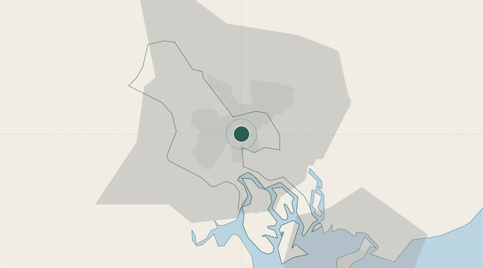
Nearby Logistics Neighbours

Cities
  1. 1Phuoc Long ICD2 km
  2. 2Sai Gon Port2 km
  3. 3ICD TRANSIMEX THU DUC2 km
  4. 4Phuóc Long2 km
  5. 5Ho Chi Minh City4 km
Nearest neighbours — logibook spatial index (haversine) over the source coordinates
Ports
  1. 1Thanh Hoa2 km
  2. 2Thanh Ho Chi Minh7 km
  3. 3Cat Lai8 km
  4. 4Phu My40 km
  5. 5Vung Tau66 km
Nearest neighbours — logibook spatial index (haversine) over the source coordinates
Airports
  1. 1Tan Son Nhat International Airport11 km
  2. 2Long Thanh International Airport (Under Construction)32 km
  3. 3Can Tho International Airport140 km
  4. 4Rach Gia Airport201 km
  5. 5Lien Khuong Airport205 km
Nearest neighbours — logibook spatial index (haversine) over the source coordinates
Trade Zones
  1. 1Tan Thuan Export Processing Zone6 km
  2. 2Song Than 1 Industrial Zone8 km
  3. 3Song Than 2 Industrial Zone8 km
  4. 4Phu Gia Industrial Park11 km
  5. 5Tan Dong Hiep B Industrial Zone12 km
Nearest neighbours — logibook spatial index (haversine) over the source coordinates
DatabookThe Record of Consolidated Knowledge
Vietnam beyond logistics?
Browse databook

All Sources

LocationsUN/LOCODE
UN/LOCODE — free
Portsthe NGA World Port Index
Public domain (US gov)
AirportsOurAirports
Public domain
Trade Zonesthe World Bank SEZ database
CC BY 4.0
Trade ZonesOpen Zone Map
CC BY
← Vietnam locations