Runway & Layout

Airport Specifications
Airport class
Medium airport
Scheduled service
No
Served city
Zhangiztobe
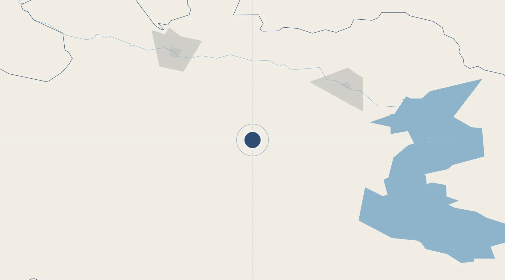
Location
Nearby Logistics Neighbours
Airports
- 1Oskemen International Airport124 km
- 2Semei International Airport148 km
- 3Ayaguz Airport158 km
- 4Dolon Air Base211 km
- 5Urzhar Airport238 km
Cities
- 1Gisikon153 km
- 2Löhnberg154 km
- 3Erbenheim156 km
- 4Waigandshain163 km
- 5Aleysk377 km
Ports
- 1Igarka2050 km
- 2Dudinka2259 km
- 3Port Dikson2701 km
- 4Muhamamad Bin Qasim2978 km
- 5Karachi2989 km
Trade Zones
DatabookThe Record of Consolidated Knowledge
Kazakhstan beyond logistics?