Runway & Layout

Airport Specifications
ICAO code
UASA
Airport class
Medium airport
Scheduled service
No
Served city
Ayaguz
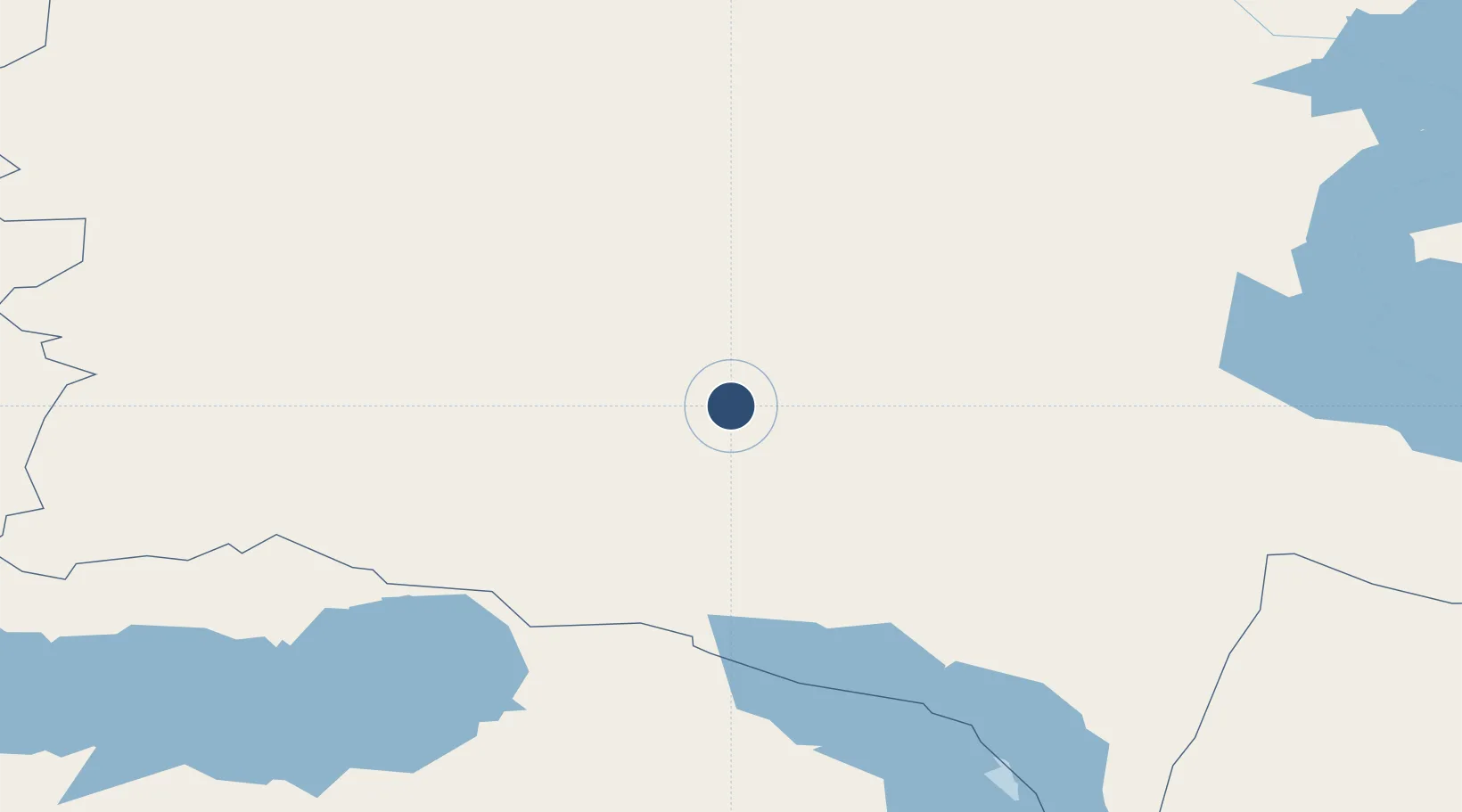
Location
Nearby Logistics Neighbours
Airports
- 1Urzhar Airport130 km
- 2Zhangiztobe Air Base158 km
- 3Usharal Airport194 km
- 4Tacheng Qianquan Airport258 km
- 5Semei International Airport271 km
Cities
- 1Gisikon167 km
- 2Erbenheim305 km
- 3Waigandshain305 km
- 4Löhnberg312 km
- 5Dosytk335 km
Ports
- 1Igarka2201 km
- 2Dudinka2409 km
- 3Muhamamad Bin Qasim2820 km
- 4Karachi2832 km
- 5Calcutta2907 km
Trade Zones
DatabookThe Record of Consolidated Knowledge
Kazakhstan beyond logistics?