Runway & Layout

Airport Specifications
ICAO code
UGMS
Airport class
Small airport
Scheduled service
Yes
Served city
Mestia
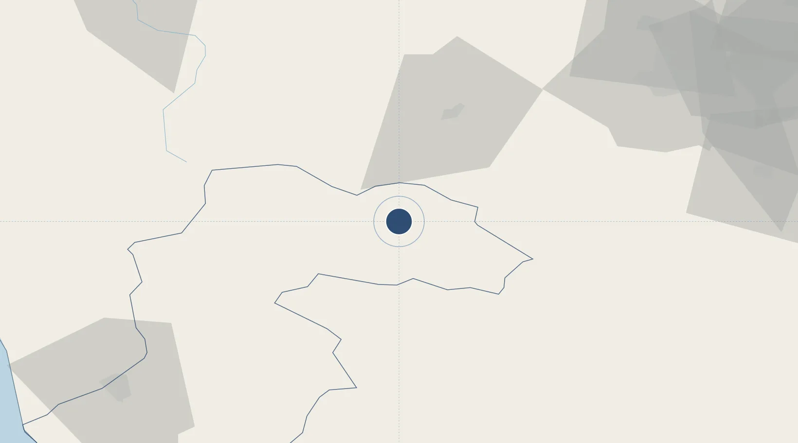
Location
Nearby Logistics Neighbours
Airports
- 1Ambrolauri Airport67 km
- 2Nalchik Airport88 km
- 3David the Builder Kutaisi International Airport100 km
- 4Senaki Air Base107 km
- 5Mineralnye Vody Airport133 km
Cities
- 1Chrebalo59 km
- 2Nalchik85 km
- 3Zugdidi95 km
- 4Tsalenjikha104 km
- 5Senaki104 km
Ports
- 1Supsa Marine Terminal136 km
- 2Sokhumi144 km
- 3Batumi180 km
- 4Hopa213 km
- 5Sochi251 km
Trade Zones
DatabookThe Record of Consolidated Knowledge
Georgia beyond logistics?