UN/LOCODE hub · Georgia
GEZOG

Zestap'oni

42.1000°, 43.0500°
20,183
Population
1
Transport functions

Transport Functions

Multimodal
UN/LOCODE

Hub Profile

Place type
Provincial seat
GeoNames
Region
Imereti
GeoNames
Population
20,183
GeoNames
Time zone
Asia/Tbilisi
GeoNames
Elevation
167 m
GeoNames

Location

Location of GEZOG
Natural Earth 10m (public domain) · Imereti · GEZOG · 42.10, 43.05GoogleOSMYandex

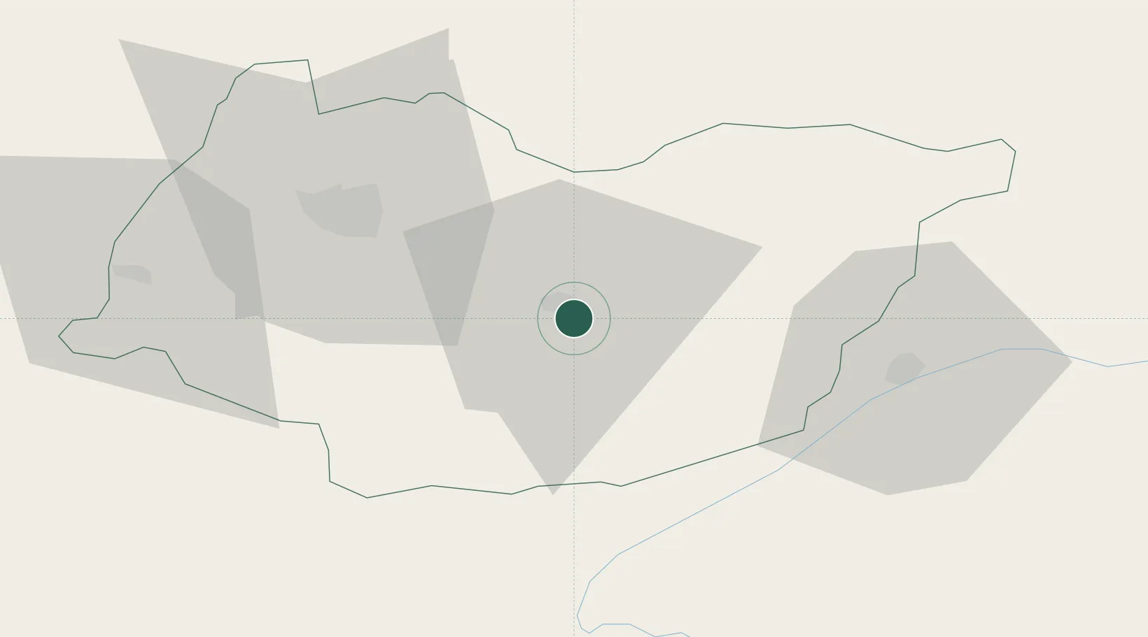
Nearby Logistics Neighbours

Cities
  1. 1Shorapani5 km
  2. 2Borjomi40 km
  3. 3Khashuri46 km
  4. 4Chrebalo51 km
  5. 5Akhalts'ikhe52 km
Nearest neighbours — logibook spatial index (haversine) over the source coordinates
Ports
  1. 1Supsa Marine Terminal110 km
  2. 2Batumi126 km
  3. 3Hopa157 km
  4. 4Sokhumi196 km
  5. 5Rize240 km
Nearest neighbours — logibook spatial index (haversine) over the source coordinates
Airports
  1. 1David the Builder Kutaisi International Airport47 km
  2. 2Ambrolauri Airport48 km
  3. 3Senaki Air Base84 km
  4. 4Ozurgeti Air Base100 km
  5. 5Mestia Queen Tamar Airport109 km
Nearest neighbours — logibook spatial index (haversine) over the source coordinates
Trade Zones
  1. 1Kutaisi Free Industrial Zone (Hualing)40 km
  2. 2Kutaisi Free Industrial Zone - Fresh Georgia, LLC.40 km
  3. 3Poti Free Industrial Zone115 km
  4. 4Kulevi Free Industrial Zone118 km
  5. 5Tbilisi Free Industrial Zone154 km
Nearest neighbours — logibook spatial index (haversine) over the source coordinates
DatabookThe Record of Consolidated Knowledge
Georgia beyond logistics?
Browse databook

All Sources

LocationsUN/LOCODE
UN/LOCODE — free
LocationsGeoNames
CC BY 4.0
Portsthe NGA World Port Index
Public domain (US gov)
AirportsOurAirports
Public domain
Trade Zonesthe World Bank SEZ database
CC BY 4.0
Trade ZonesOpen Zone Map
CC BY
← Georgia locations