Transport Functions
Multimodal
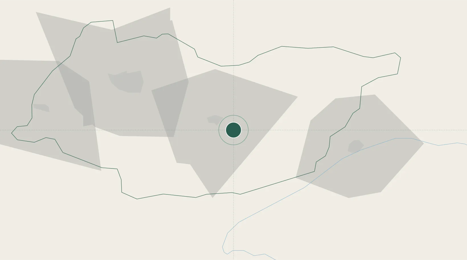
Hub Profile
Place type
Populated place
Region
Imereti
Population
1,971
Time zone
Asia/Tbilisi
Elevation
185 m
Location
Nearby Logistics Neighbours
Cities
- 1Zestap'oni5 km
- 2Borjomi36 km
- 3Khashuri41 km
- 4Akhalts'ikhe51 km
- 5Chrebalo53 km
Ports
- 1Supsa Marine Terminal114 km
- 2Batumi129 km
- 3Hopa159 km
- 4Sokhumi200 km
- 5Rize243 km
Airports
- 1Ambrolauri Airport49 km
- 2David the Builder Kutaisi International Airport52 km
- 3Senaki Air Base89 km
- 4Ozurgeti Air Base104 km
- 5Mestia Queen Tamar Airport112 km
Trade Zones
DatabookThe Record of Consolidated Knowledge
Georgia beyond logistics?