Transport Functions
Multimodal
Hub Profile
Place type
Provincial seat
Region
Soccsksargen
Population
90,120
Time zone
Asia/Manila
Elevation
40 m
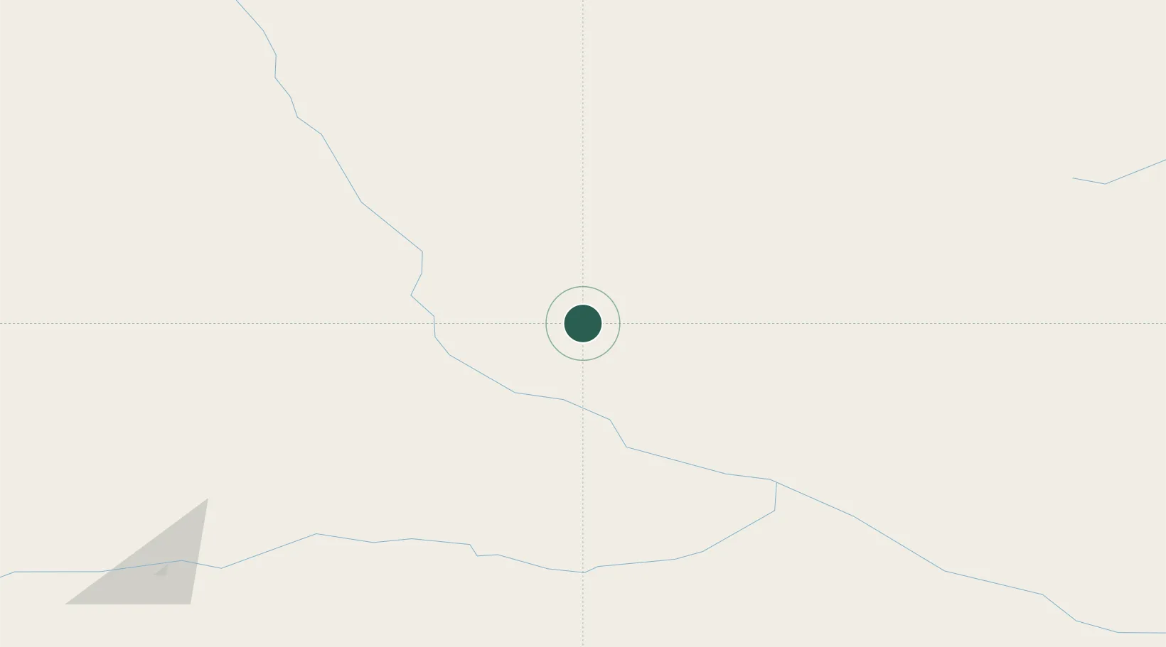
Location
Nearby Logistics Neighbours
Ports
- 1Tiksi713 km
- 2Okhotsk Iy Reyd1134 km
- 3Nikolayevsk Na Amur1610 km
- 4Moskal Vo1621 km
- 5Okha1640 km
Airports
- 1Zhigansk Airport181 km
- 2Kyzyl-Syr Airport203 km
- 3Vilyuisk Airport247 km
- 4Verkhnevilyuisk Airport320 km
- 5Sakkyryr Airport352 km
DatabookThe Record of Consolidated Knowledge
Philippines beyond logistics?