Runway & Layout

Airport Specifications
ICAO code
UEKU
Airport class
Small airport
Scheduled service
Yes
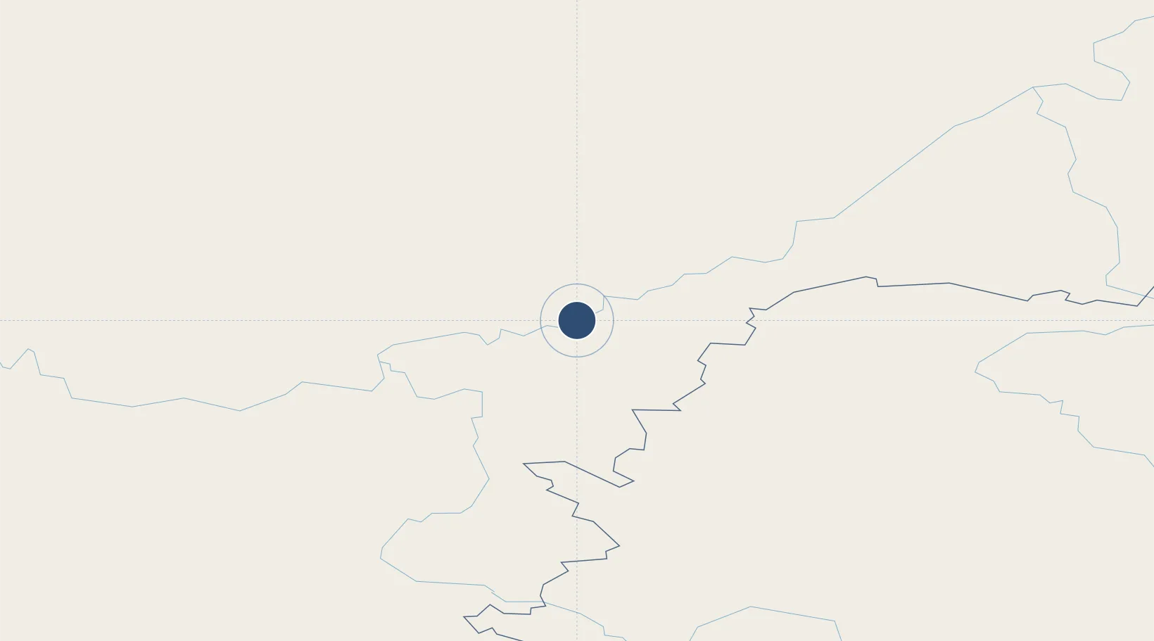
Location
Nearby Logistics Neighbours
Airports
- 1Ust-Maya Airport209 km
- 2Platon Oyunsky Yakutsk International Airport358 km
- 3Magan Airport363 km
- 4Chulman Airport468 km
- 5Udskoye Airport526 km
Cities
- 1Olekminsk654 km
- 2Tygda739 km
- 3Oelsted746 km
- 4Alabel781 km
- 5Freienbrink811 km
Ports
- 1Okhotsk Iy Reyd650 km
- 2Nikolayevsk Na Amur858 km
- 3Moskal Vo894 km
- 4Okha920 km
- 5Lazarev971 km
Trade Zones
DatabookThe Record of Consolidated Knowledge
Russia beyond logistics?