Large airport · Kazakhstan

Semei International AirportUASS
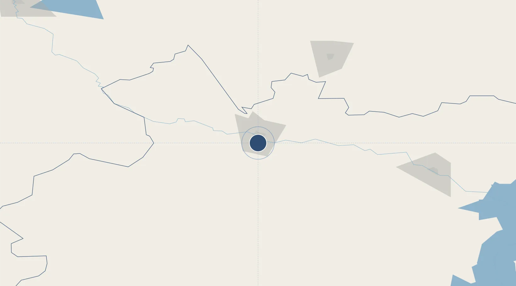
50.3513°, 80.2344°
10,159 ft
Longest runway
2
Runways
761 ft
Elevation

Runway & Layout

Semei International Airport runway & taxiway layout
Runway & taxiway layout — OpenStreetMap (ODbL) / OurAirports

Radio Frequencies

TWR
128 MHz
OurAirports

Navaids

SP NDB Semipalatinsk 418 kHz
OurAirports

Runways · 2

RunwayDimensions SurfaceTrue headingLit
08/26 10,159 × 145ft Concrete 084°
02/20 3,270 × 253ft Concrete 024°
OurAirports

Airport Specifications

IATA code
PLX
OurAirports
ICAO code
UASS
OurAirports
Airport class
Large airport
OurAirports
Scheduled service
Yes
OurAirports
Runway surface
Concrete
OurAirports
Served city
Semey
OurAirports

Location

Location of UASS
Natural Earth 10m (public domain) · East Kazakhstan · UASS · 50.35, 80.23GoogleOSMYandex

Nearby Logistics Neighbours

Airports
  1. 1Dolon Air Base77 km
  2. 2Kurchatov Airfield127 km
  3. 3Zhangiztobe Air Base148 km
  4. 4Oskemen International Airport165 km
  5. 5Ayaguz Airport271 km
Nearest neighbours — logibook spatial index (haversine) over the source coordinates
Cities
  1. 1Waigandshain54 km
  2. 2Löhnberg127 km
  3. 3Erbenheim200 km
  4. 4Aleysk295 km
  5. 5Gisikon300 km
Nearest neighbours — logibook spatial index (haversine) over the source coordinates
Ports
  1. 1Igarka1935 km
  2. 2Dudinka2142 km
  3. 3Port Dikson2575 km
  4. 4Muhamamad Bin Qasim3053 km
  5. 5Karachi3063 km
Nearest neighbours — logibook spatial index (haversine) over the source coordinates
Trade Zones
  1. 1Pavlodar Special Economic Zone322 km
  2. 2Turquoise Katun Tourism Zone385 km
  3. 3Altai Valley Special Economic Zone416 km
  4. 4Nine Division Baktu Industrial Park449 km
  5. 5Karamay Cloud Computing Industrial Park635 km
Nearest neighbours — logibook spatial index (haversine) over the source coordinates
DatabookThe Record of Consolidated Knowledge
Kazakhstan beyond logistics?
Browse databook

All Sources

AirportsOurAirports
Public domain
Portsthe NGA World Port Index
Public domain (US gov)
LocationsUN/LOCODE
UN/LOCODE — free
Trade Zonesthe World Bank SEZ database
CC BY 4.0
Trade ZonesOpen Zone Map
CC BY
InfrastructureOpenStreetMap
ODbL 1.0
← Kazakhstan airports