UN/LOCODE hub · Trinidad & Tobago
TTPTS
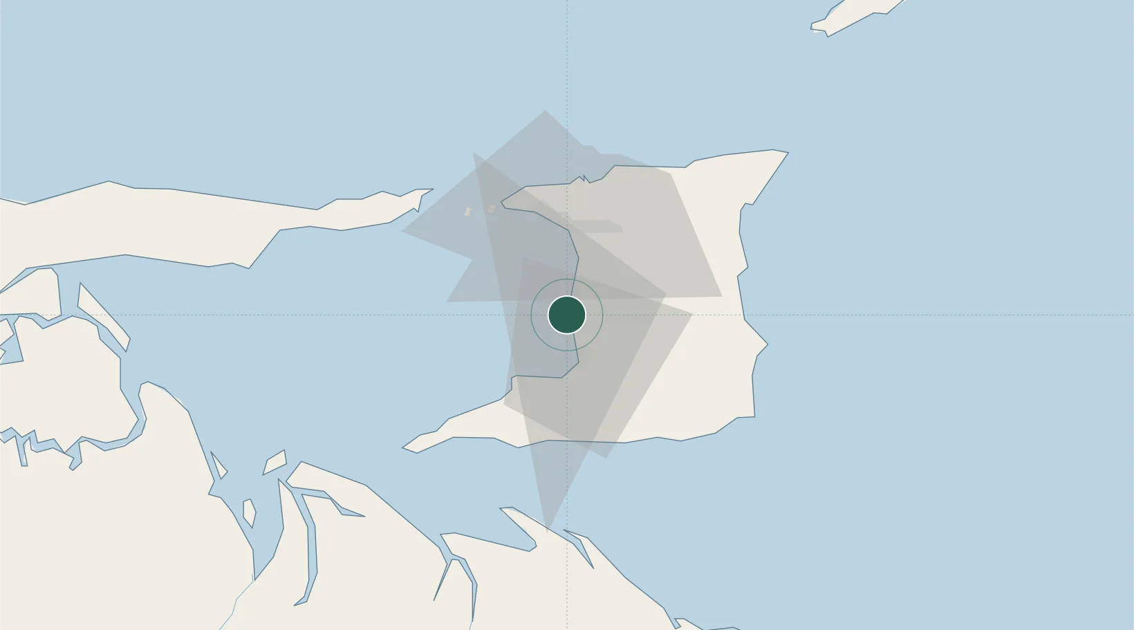
Point Lisas
10.4078°, -61.4932°
1
Transport functions
1
Container terminals
Transport Functions
Port
Hub Profile
Logistics facilities
2
Container terminals
1
Location
Nearby Logistics Neighbours
Cities
- 1Couva5 km
- 2Claxton Bay7 km
- 3Freeport10 km
- 4Princes Town20 km
- 5Saint Mary's22 km
Ports
- 1Pointe A Pierre11 km
- 2Brighton23 km
- 3Port Of Spain27 km
- 4Anse Tembladora32 km
- 5Point Fortin32 km
Airports
- 1Piarco International Airport27 km
- 2Guiria Airport92 km
- 3A.N.R. Robinson International Airport110 km
- 4Tucupita Airport161 km
- 5Maurice Bishop International Airport180 km
Trade Zones
DatabookThe Record of Consolidated Knowledge
Trinidad & Tobago beyond logistics?