Medium airport · Paraguay

Aeropuerto Nacional de Salto del GuairaSGGR
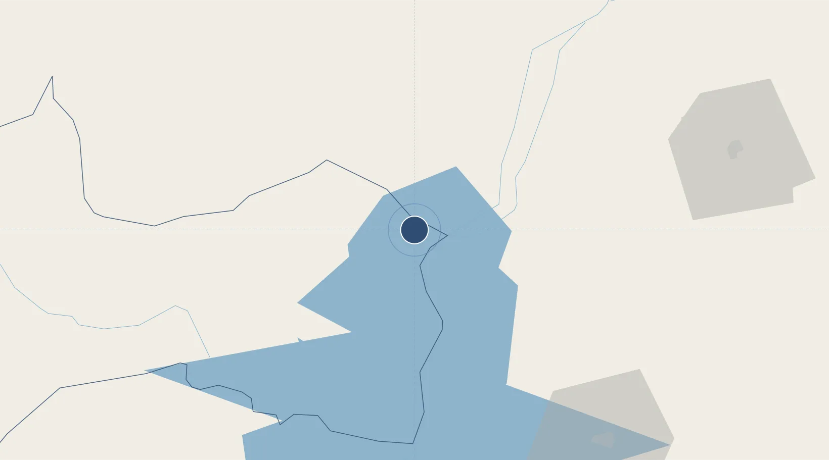
-24.0328°, -54.3527°
990 ft
Elevation

Runway & Layout

Aeropuerto Nacional de Salto del Guaira runway & taxiway layout
Runway & taxiway layout — OpenStreetMap (ODbL) / OurAirports

Airport Specifications

ICAO code
SGGR
OurAirports
Airport class
Medium airport
OurAirports
Scheduled service
No
OurAirports
Served city
Salto del Guaira
OurAirports

Location

Location of SGGR
Natural Earth 10m (public domain) · Canindeyú · SGGR · -24.03, -54.35GoogleOSMYandex

Nearby Logistics Neighbours

Airports
  1. 1Guaíra Airport17 km
  2. 2Toledo - Luiz Dalcanale Filho Municipal Airport98 km
  3. 3Orlando de Carvalho Airport109 km
  4. 4Coronel Adalberto Mendes da Silva Airport138 km
  5. 5Cooperativa Lar Heliport141 km
Nearest neighbours — logibook spatial index (haversine) over the source coordinates
Cities
  1. 1Guaíra13 km
  2. 2Mundo Novo14 km
  3. 3Katuete28 km
  4. 4Terra Roxa31 km
  5. 5Pato Bragado66 km
Nearest neighbours — logibook spatial index (haversine) over the source coordinates
Ports
  1. 1Puerto De Asuncion364 km
  2. 2Paranagua611 km
  3. 3Sao Francisco626 km
  4. 4Itajai658 km
  5. 5Imbituba735 km
Nearest neighbours — logibook spatial index (haversine) over the source coordinates
Trade Zones
  1. 1Zona Franca Internacional166 km
  2. 2Zona Franca Global167 km
  3. 3Zona Franca Puerto Iguazu Free Trade Zone176 km
  4. 4ZPE de Bataguassú (MS)328 km
  5. 5ZPE de Fernandópolis (SP)590 km
Nearest neighbours — logibook spatial index (haversine) over the source coordinates
DatabookThe Record of Consolidated Knowledge
Paraguay beyond logistics?
Browse databook

All Sources

AirportsOurAirports
Public domain
Portsthe NGA World Port Index
Public domain (US gov)
LocationsUN/LOCODE
UN/LOCODE — free
Trade Zonesthe World Bank SEZ database
CC BY 4.0
Trade ZonesOpen Zone Map
CC BY
InfrastructureOpenStreetMap
ODbL 1.0
← Paraguay airports