Medium airport · Paraguay

Dr. Luis María Argaña International AirportSGME
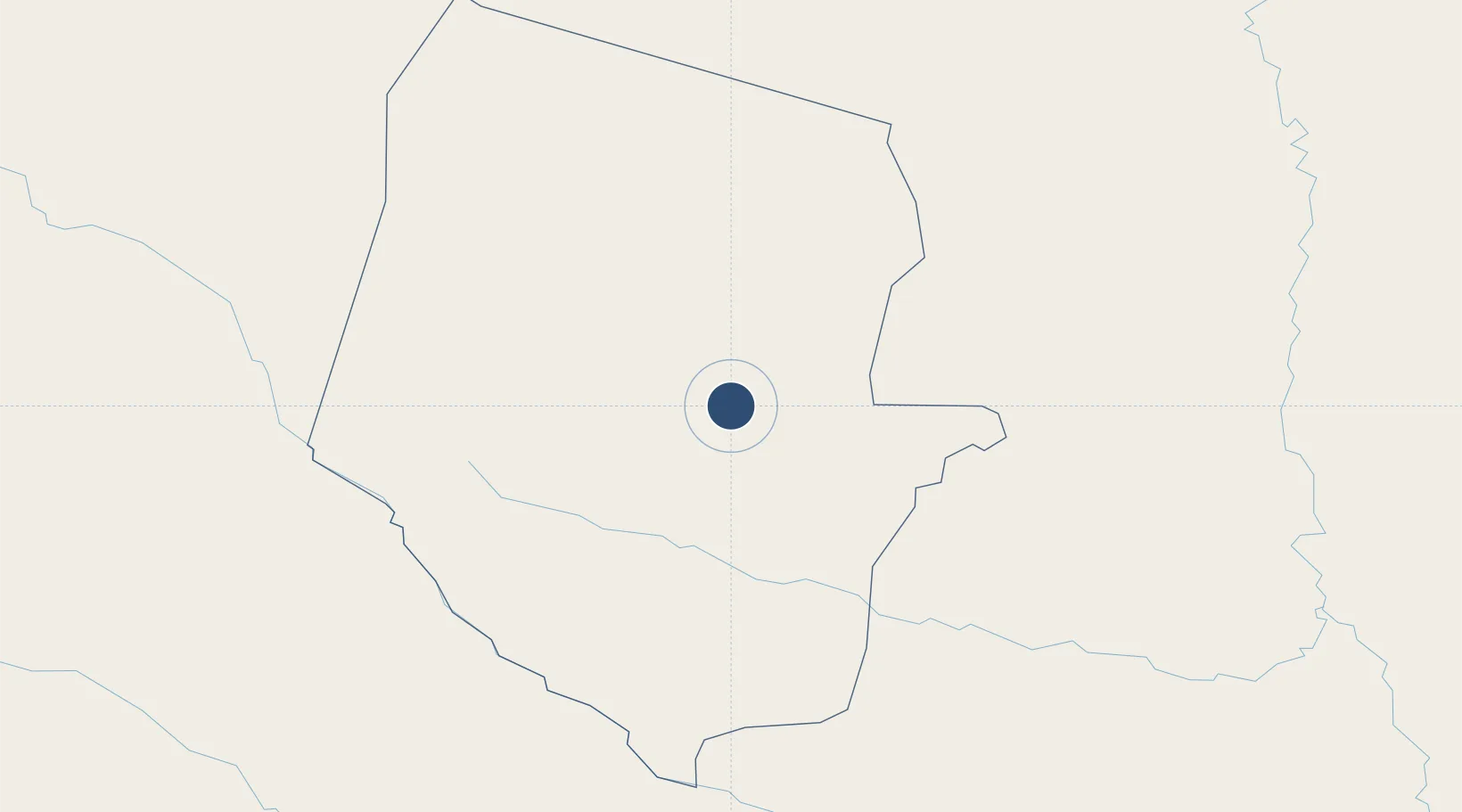
-22.0465°, -60.6217°
11,483 ft
Longest runway
1
Runways
553 ft
Elevation

Runway & Layout

Dr. Luis María Argaña International Airport runway & taxiway layout
Runway & taxiway layout — OpenStreetMap (ODbL) / OurAirports

Radio Frequencies

RDO
118.8 MHz
MARISCAL RDO
OurAirports

Navaids

MCL NDB Mariscal Estigarribia 381 kHz
OurAirports

Runways · 1

RunwayDimensions SurfaceTrue headingLit
01/19 11,483 × 131ft Concrete 358°
OurAirports

Airport Specifications

IATA code
ESG
OurAirports
ICAO code
SGME
OurAirports
Airport class
Medium airport
OurAirports
Scheduled service
No
OurAirports
Runway surface
Concrete
OurAirports
Served city
Mariscal Estigarribia
OurAirports

Location

Location of SGME
Natural Earth 10m (public domain) · Boquerón · SGME · -22.05, -60.62GoogleOSMYandex

Nearby Logistics Neighbours

Airports
  1. 1Base de la Fuerza Aérea Paraguaya "Mayor Infante Rivarola"188 km
  2. 2Aeropuerto Nacional Doctor Juan Plate276 km
  3. 3Teniente Coronel Rafael Pabón Airport301 km
  4. 4Yacuiba Airport313 km
  5. 5General Enrique Mosconi Airport332 km
Nearest neighbours — logibook spatial index (haversine) over the source coordinates
Cities
  1. 1Puerto la Victoria278 km
  2. 2Porto Murtinho285 km
  3. 3Puerto Guarani292 km
  4. 4Calera Cue294 km
  5. 5Fuerte Olimpo306 km
Nearest neighbours — logibook spatial index (haversine) over the source coordinates
Ports
  1. 1Puerto De Asuncion467 km
  2. 2Tocopilla990 km
  3. 3Caleta Patillos1002 km
  4. 4Iquique1011 km
  5. 5Mejillones1017 km
Nearest neighbours — logibook spatial index (haversine) over the source coordinates
Trade Zones
  1. 1Zona Franca Puerto Suárez448 km
  2. 2Central Aguirre Portuaria455 km
  3. 3ZPE DE Corumbá457 km
  4. 4Zona Franca de Salta539 km
  5. 5Winner Commercial and Industrial Free Zone543 km
Nearest neighbours — logibook spatial index (haversine) over the source coordinates
DatabookThe Record of Consolidated Knowledge
Paraguay beyond logistics?
Browse databook

All Sources

AirportsOurAirports
Public domain
Portsthe NGA World Port Index
Public domain (US gov)
LocationsUN/LOCODE
UN/LOCODE — free
Trade Zonesthe World Bank SEZ database
CC BY 4.0
Trade ZonesOpen Zone Map
CC BY
InfrastructureOpenStreetMap
ODbL 1.0
← Paraguay airports