Medium airport · Brazil
Dix-Sept Rosado AirportSBMS
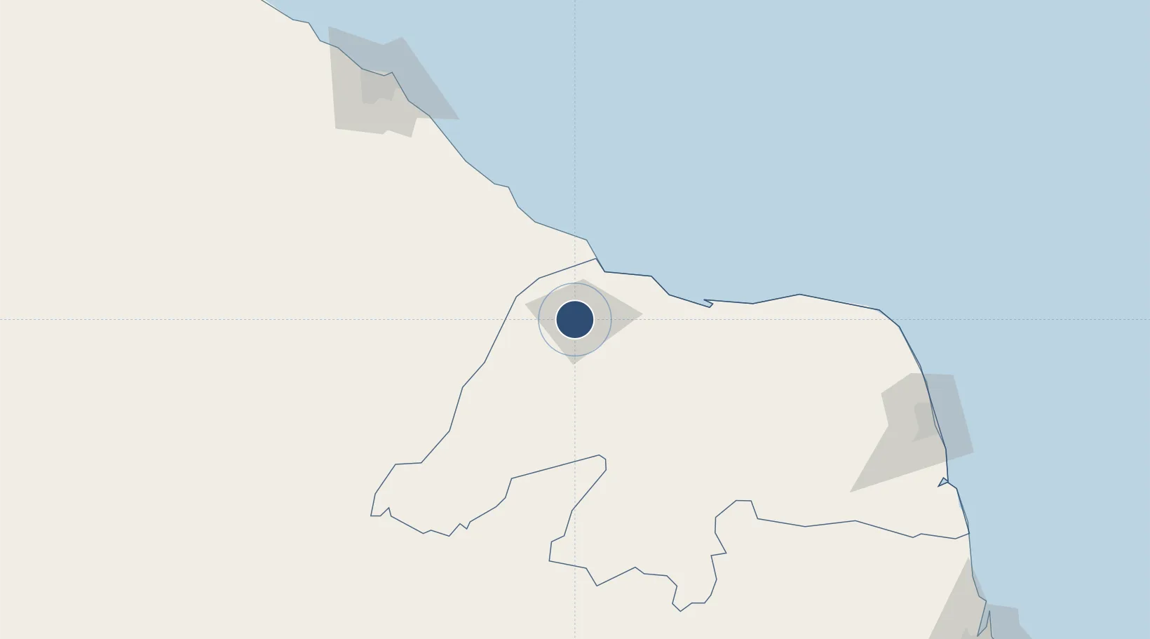
-5.2019°, -37.3643°
6,562 ft
Longest runway
1
Runways
76 ft
Elevation
Runway & Layout

Radio Frequencies
AFIS
125.9 MHz
MOSSORO RDO
Navaids
MSS VOR-DME Mossoro 112.40 MHz
MSS NDB Mossoro 275 kHz
Runways · 1
| Runway | Dimensions | Surface | True heading | Lit |
|---|---|---|---|---|
| 5/23 | 6,562 × 98ft | Asphalt | — | — |
Airport Specifications
IATA code
MVF
ICAO code
SBMS
Airport class
Medium airport
Scheduled service
Yes
Runway surface
Asphalt
Served city
Mossoró
Location
Nearby Logistics Neighbours
Airports
Cities
- 1Mossoró3 km
- 2Areia Branca39 km
- 3Macau82 km
- 4Guamaré117 km
- 5Galinhos122 km
Ports
- 1Guamare Oil Terminal125 km
- 2Natal248 km
- 3Cabedelo342 km
- 4Recife420 km
- 5Porto De Suape443 km
Trade Zones
- 1ZPE de Macaíba (RN)224 km
- 2ZPE de Pecém (CE) ( Port of Pecém)244 km
- 3ZPE de João Pessoa (PB)343 km
- 4ZPE de Suape (PE)442 km
- 5ZPE de Parnaíba (PI)549 km
DatabookThe Record of Consolidated Knowledge
Brazil beyond logistics?