UN/LOCODE hub · Russia
RUVNP
Verkhnedneprovskiy
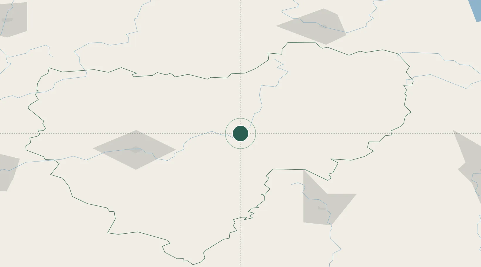
54.9833°, 33.3333°
13,903
Population
2
Transport functions
Transport Functions
Rail
Road
Hub Profile
Place type
Populated place
Region
Smolensk Oblast
Population
13,903
Time zone
Europe/Moscow
Elevation
215 m
Location
Nearby Logistics Neighbours
Cities
- 1Yartsevo44 km
- 2Vyaz'ma67 km
- 3Rzhev154 km
- 4Zhukovka, Bryansk165 km
- 5Reutov180 km
Ports
- 1Lomonosov588 km
- 2Kronshtadt595 km
- 3Sillamae598 km
- 4Ust Luga601 km
- 5Riga614 km
Airports
- 1Smolensk North Airport86 km
- 2Shatalovo Air Base90 km
- 3Shaykovka Air Base108 km
- 4Seshcha Air Base141 km
- 5Rzhev Air Base157 km
Trade Zones
DatabookThe Record of Consolidated Knowledge
Russia beyond logistics?