Channel & Berth Profile
Pilotage, Tugs & Services
Pilotage availableYES
Potable waterYES
Diesel bunkersYES
MedicalYES
Facilities & Capabilities
Container—
Ro-Ro—
Liquid bulk—
Dry bulk—
Oil terminal—
Break bulk—
Dry dock—
Repairs—
BunkeringYES
Rail link—
Dangerous cargo—
ISPS security—
Harbour Specifications
Harbour size
Very Small
Harbour type
Open Roadstead
Shelter
Fair
Water body
Philippine inland seas; North Pacific Ocean
Tidal range
4 m
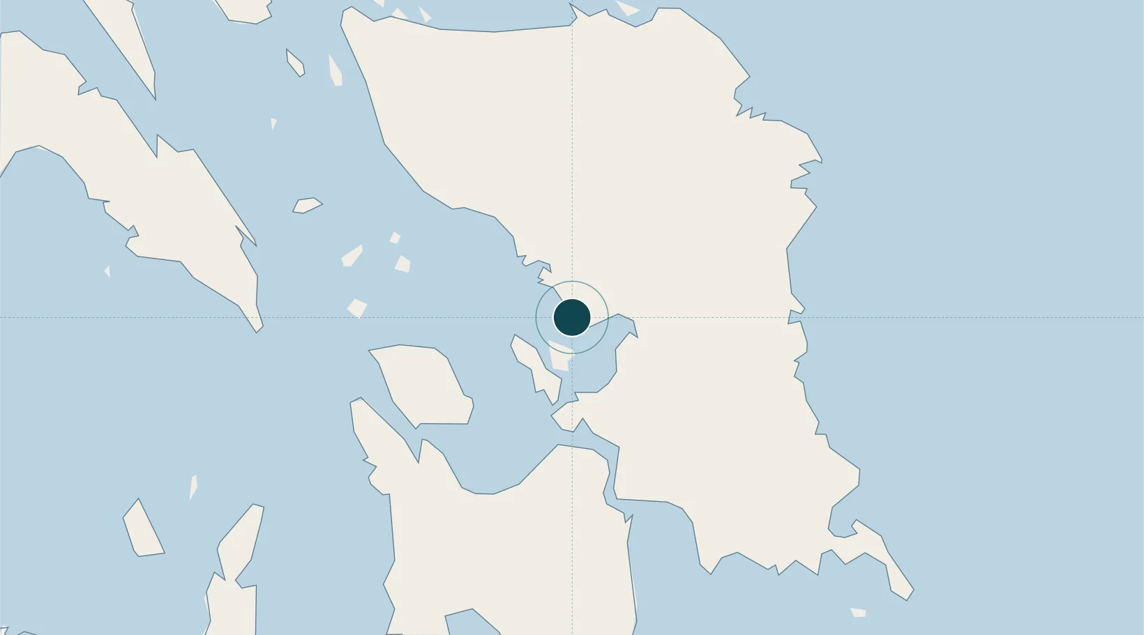
Location
Nearby Logistics Neighbours
Ports
- 1Tacloban59 km
- 2Port Borongan63 km
- 3Tanauan76 km
- 4Ormoc91 km
- 5Palompon97 km
Cities
- 1Calbayog, Samar45 km
- 2Carigara56 km
- 3Capoocan58 km
- 4Leyte62 km
- 5Calubian, Leyte63 km
Airports
- 1Calbayog Airport50 km
- 2Daniel Z. Romualdez Airport62 km
- 3Catarman National Airport86 km
- 4Ormoc Airport86 km
- 5Moises R. Espinosa Airport152 km
DatabookThe Record of Consolidated Knowledge
Philippines beyond logistics?