UN/LOCODE hub · Philippines
PHCUG

Calubian, Leyte

11.4333°, 124.4167°
2
Transport functions

Transport Functions

Port
Road
UN/LOCODE

Hub Profile

Region
LEY
GeoNames

Location

Location of PHCUG
Natural Earth 10m (public domain) · LEY · PHCUG · 11.43, 124.42GoogleOSMYandex

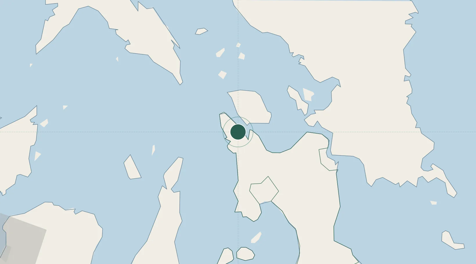
Nearby Logistics Neighbours

Cities
  1. 1Leyte10 km
  2. 2Capoocan29 km
  3. 3Carigara33 km
  4. 4Albuera57 km
  5. 5Bogo62 km
Nearest neighbours — logibook spatial index (haversine) over the source coordinates
Ports
  1. 1Palompon43 km
  2. 2Ormoc52 km
  3. 3Isabel58 km
  4. 4Catbalogan63 km
  5. 5Tacloban67 km
Nearest neighbours — logibook spatial index (haversine) over the source coordinates
Airports
  1. 1Ormoc Airport45 km
  2. 2Daniel Z. Romualdez Airport70 km
  3. 3Calbayog Airport72 km
  4. 4Catarman National Airport121 km
  5. 5Mactan Cebu International Airport134 km
Nearest neighbours — logibook spatial index (haversine) over the source coordinates
Trade Zones
  1. 1Kananga Special Economic Zone31 km
  2. 2Eastern Visayas Regional Growth Center56 km
  3. 3Leyte Industrial Development Estate59 km
  4. 4Leyte Mikyu Economic Zone69 km
  5. 5Leyte Information Communication Technology Park70 km
Nearest neighbours — logibook spatial index (haversine) over the source coordinates
DatabookThe Record of Consolidated Knowledge
Philippines beyond logistics?
Browse databook

All Sources

LocationsUN/LOCODE
UN/LOCODE — free
Portsthe NGA World Port Index
Public domain (US gov)
AirportsOurAirports
Public domain
Trade Zonesthe World Bank SEZ database
CC BY 4.0
Trade ZonesOpen Zone Map
CC BY
← Philippines locations