UN/LOCODE hub · Philippines
PHLEY

Leyte

11.3667°, 124.4833°
7,223
Population
1
Transport functions

Transport Functions

Port
UN/LOCODE

Hub Profile

Place type
District seat
GeoNames
Region
Eastern Visayas
GeoNames
Population
7,223
GeoNames
Time zone
Asia/Manila
GeoNames
Elevation
1 m
GeoNames

Location

Location of PHLEY
Natural Earth 10m (public domain) · Eastern Visayas · PHLEY · 11.37, 124.48GoogleOSMYandex

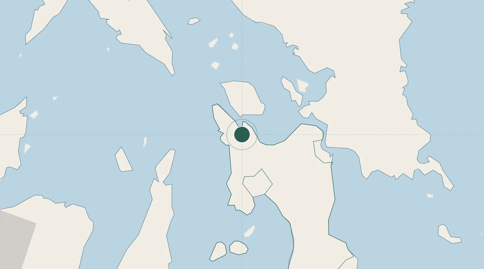
Nearby Logistics Neighbours

Cities
  1. 1Calubian, Leyte10 km
  2. 2Capoocan20 km
  3. 3Carigara23 km
  4. 4Albuera47 km
  5. 5Bogo63 km
Nearest neighbours — logibook spatial index (haversine) over the source coordinates
Ports
  1. 1Palompon37 km
  2. 2Ormoc43 km
  3. 3Isabel50 km
  4. 4Tacloban58 km
  5. 5Catbalogan62 km
Nearest neighbours — logibook spatial index (haversine) over the source coordinates
Airports
  1. 1Ormoc Airport36 km
  2. 2Daniel Z. Romualdez Airport61 km
  3. 3Calbayog Airport79 km
  4. 4Catarman National Airport127 km
  5. 5Mactan Cebu International Airport130 km
Nearest neighbours — logibook spatial index (haversine) over the source coordinates
Trade Zones
  1. 1Kananga Special Economic Zone22 km
  2. 2Eastern Visayas Regional Growth Center48 km
  3. 3Leyte Industrial Development Estate52 km
  4. 4Leyte Mikyu Economic Zone60 km
  5. 5Leyte Information Communication Technology Park60 km
Nearest neighbours — logibook spatial index (haversine) over the source coordinates
DatabookThe Record of Consolidated Knowledge
Philippines beyond logistics?
Browse databook

All Sources

LocationsUN/LOCODE
UN/LOCODE — free
LocationsGeoNames
CC BY 4.0
Portsthe NGA World Port Index
Public domain (US gov)
AirportsOurAirports
Public domain
Trade Zonesthe World Bank SEZ database
CC BY 4.0
Trade ZonesOpen Zone Map
CC BY
← Philippines locations