Diversified Zone · Philippines

Samar Agro-Industrial Economic Zone Active
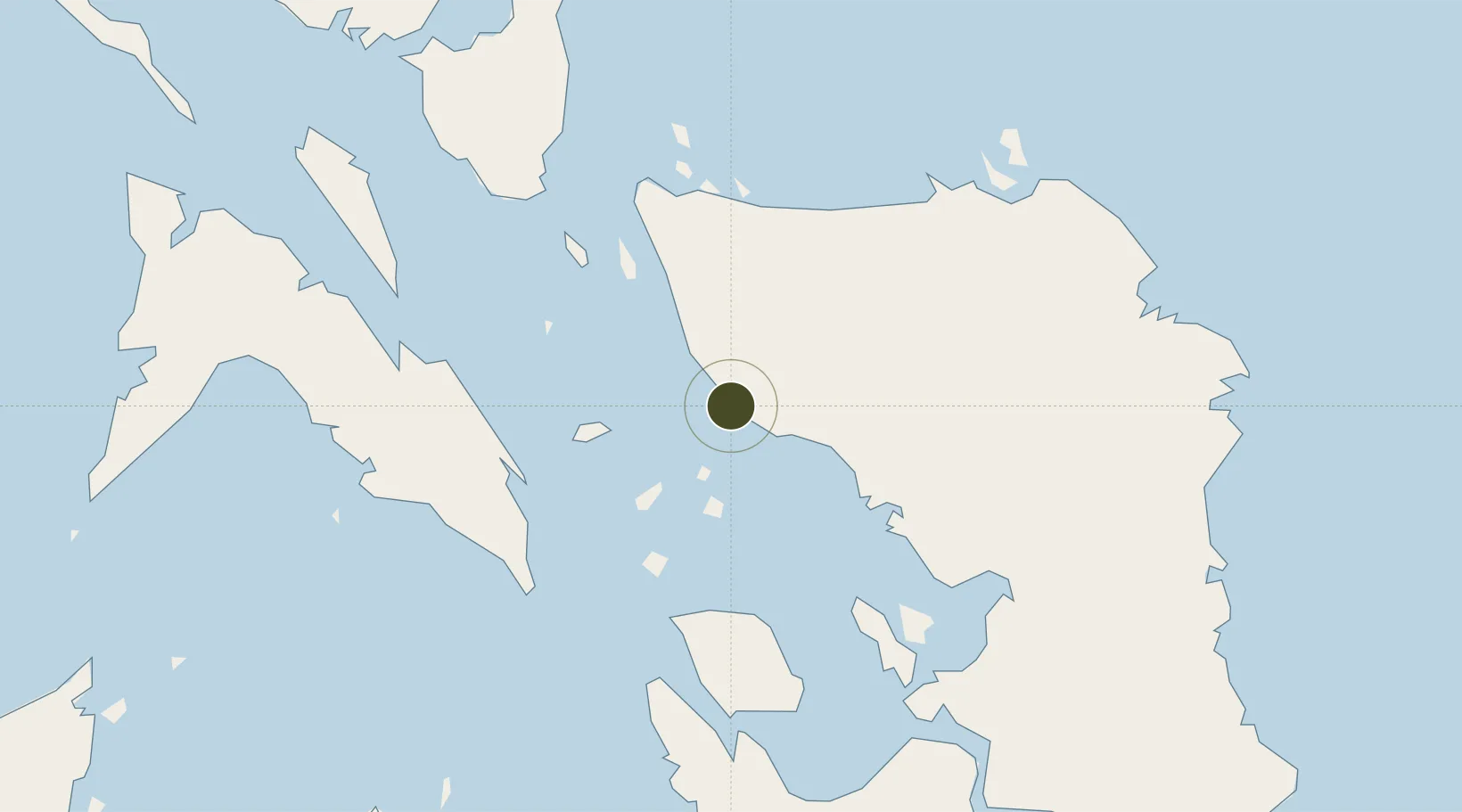
12.1140°, 124.4750°
8 ha
Zone area
58.9 km
Nearest port
8.9 km
Nearest airport

Gateway access

Nearest neighbours — logibook spatial index (haversine) over the source coordinates

Zone profile

Zone type
Diversified Zone
Open Zone Map
Region
Samar
Open Zone Map
Status
Active
Open Zone Map
Management
Private
Open Zone Map
Operator
Hi Best Property Developer Corporation
Open Zone Map
Legal framework
Special Economic Zone Act (Republic Act No. 7916) (as amended by Republic Act No. 8748)
Open Zone Map

Location

Location of ozm-3102
Natural Earth 10m (public domain) · Samar · ozm-3102 · 12.11, 124.48GoogleOSMYandex

Nearby Logistics Neighbours

Ports
  1. 1Catbalogan59 km
  2. 2Masbate97 km
  3. 3Sorsogon108 km
  4. 4Tacloban112 km
  5. 5Palompon119 km
Nearest neighbours — logibook spatial index (haversine) over the source coordinates
Airports
  1. 1Calbayog Airport9 km
  2. 2Catarman National Airport47 km
  3. 3Moises R. Espinosa Airport96 km
  4. 4Daniel Z. Romualdez Airport116 km
  5. 5Ormoc Airport118 km
Nearest neighbours — logibook spatial index (haversine) over the source coordinates
Cities
  1. 1Calbayog, Samar15 km
  2. 2Calubian, Leyte76 km
  3. 3Leyte83 km
  4. 4Changtu83 km
  5. 5Capoocan93 km
Nearest neighbours — logibook spatial index (haversine) over the source coordinates
Trade Zones
  1. 1Eastern Visayas Regional Growth Center101 km
  2. 2Kananga Special Economic Zone105 km
  3. 3Peter Paul Industrial Ecozone - Sorsogon108 km
  4. 4Leyte Mikyu Economic Zone118 km
  5. 5Leyte Information Communication Technology Park119 km
Nearest neighbours — logibook spatial index (haversine) over the source coordinates
DatabookThe Record of Consolidated Knowledge
Philippines beyond logistics?
Browse databook

All Sources

Trade ZonesOpen Zone Map
CC BY
Portsthe NGA World Port Index
Public domain (US gov)
AirportsOurAirports
Public domain
LocationsUN/LOCODE
UN/LOCODE — free
← Philippines trade zones