Diversified Zone · Philippines

Gimco Sangley Point SEZ Under Development
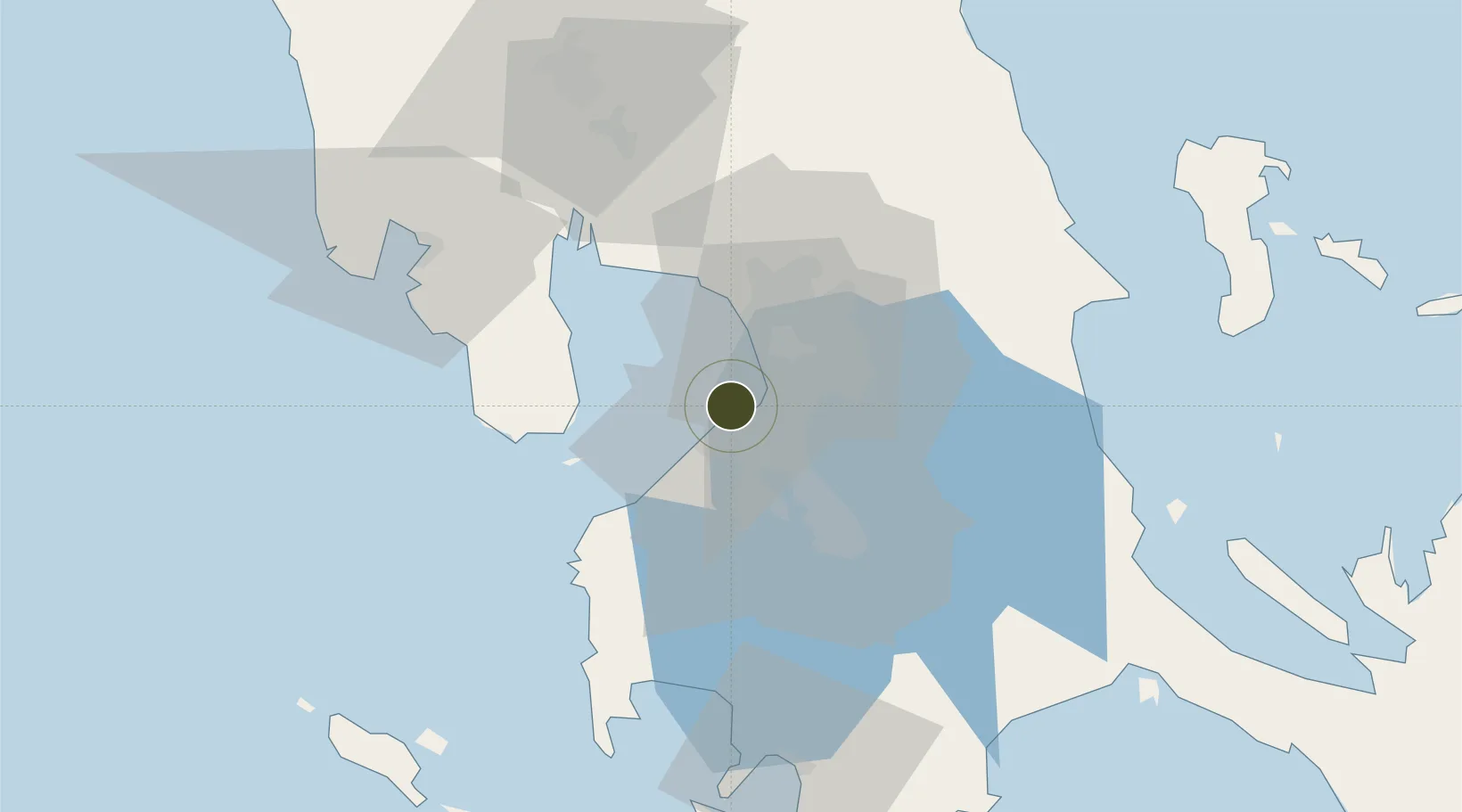
14.4974°, 120.9092°
40 ha
Zone area
11.4 km
Nearest port
0.6 km
Nearest airport

Gateway access

Nearest neighbours — logibook spatial index (haversine) over the source coordinates

Zone profile

Zone type
Diversified Zone
Open Zone Map
Status
Under Development
Open Zone Map
Management
Private
Open Zone Map
Operator
Gimco Development, LLC
Open Zone Map
Legal framework
Special Economic Zone Act (Republic Act No. 7916) (as amended by Republic Act No. 8748)
Open Zone Map

Location

Location of ozm-3137
Natural Earth 10m (public domain) · ozm-3137 · 14.50, 120.91GoogleOSMYandex

Nearby Logistics Neighbours

Ports
  1. 1Manila11 km
  2. 2Mariveles46 km
  3. 3Nasugbu56 km
  4. 4Subic Bay77 km
  5. 5Batangas City85 km
Nearest neighbours — logibook spatial index (haversine) over the source coordinates
Airports
  1. 1Danilo Atienza Air Base1 km
  2. 2Ninoy Aquino International Airport12 km
  3. 3Subic Bay International Airport / Naval Air Station Cubi Point76 km
  4. 4Clark International Airport / Clark Air Base85 km
  5. 5Lubang Airport112 km
Nearest neighbours — logibook spatial index (haversine) over the source coordinates
Cities
  1. 1Parañaque8 km
  2. 2Manila North Harbour10 km
  3. 3Bangkal11 km
  4. 4Manila11 km
  5. 5Makati City13 km
Nearest neighbours — logibook spatial index (haversine) over the source coordinates
Trade Zones
  1. 1Cavite City International IT Park2 km
  2. 2Marcelo IPG Industrial & Aqua Farming Park4 km
  3. 3Island Cove Tourism Economic Zone4 km
  4. 4Kawit Development Project Special Eco-Tourism Zone5 km
  5. 5SM Tacloban IT Center6 km
Nearest neighbours — logibook spatial index (haversine) over the source coordinates
DatabookThe Record of Consolidated Knowledge
Philippines beyond logistics?
Browse databook

All Sources

Trade ZonesOpen Zone Map
CC BY
Portsthe NGA World Port Index
Public domain (US gov)
AirportsOurAirports
Public domain
LocationsUN/LOCODE
UN/LOCODE — free
← Philippines trade zones