Large airport · Taiwan

Kaohsiung International AirportRCKH
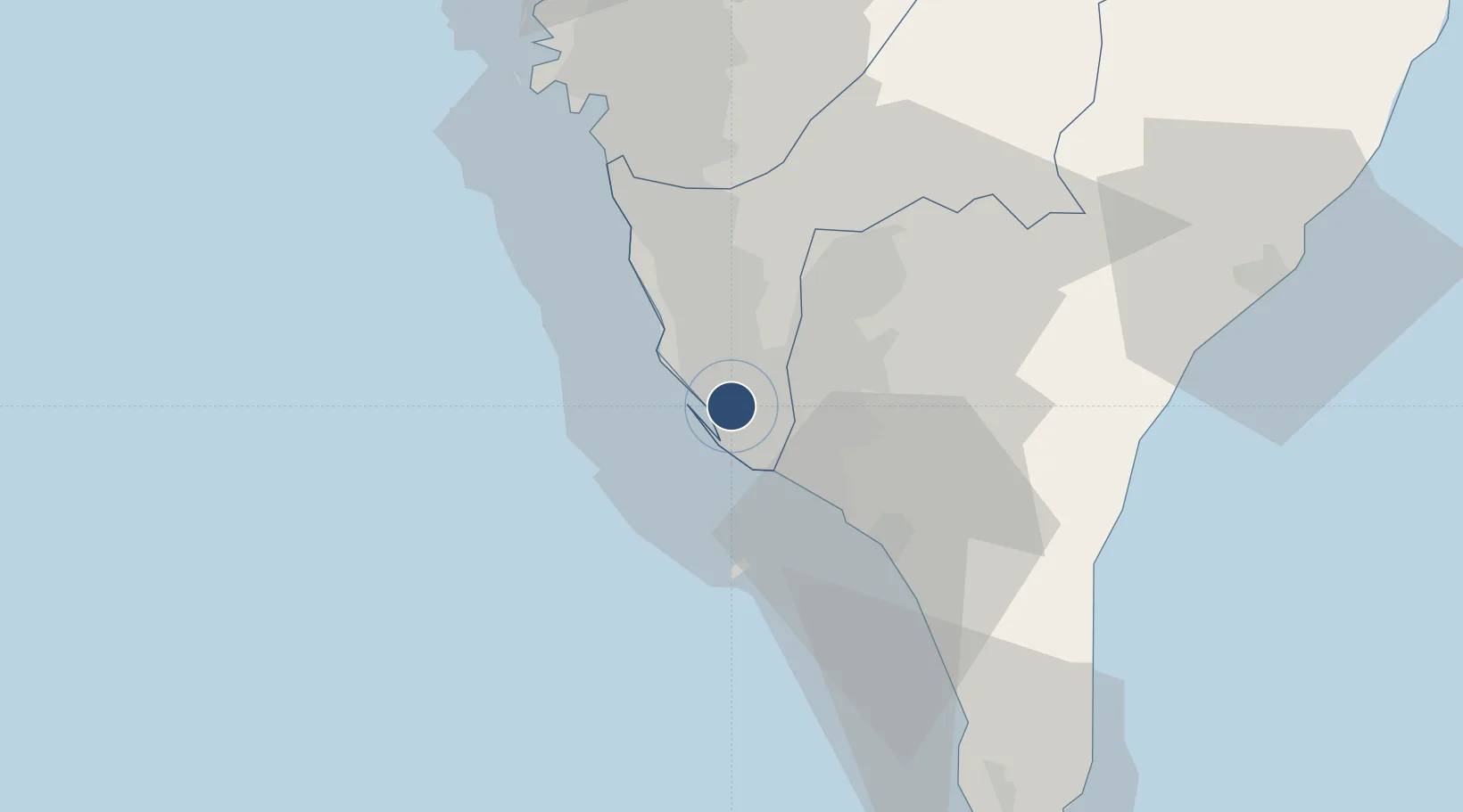
22.5771°, 120.3500°
10,335 ft
Longest runway
1
Runways
31 ft
Elevation

Runway & Layout

Kaohsiung International Airport runway & taxiway layout
Runway & taxiway layout — OpenStreetMap (ODbL) / OurAirports

Radio Frequencies

ATIS
127.8 MHz
TWR
118.7 MHz
GND
121.9 MHz
CLD
121.8 MHz
CLNC DEL
APP
121.1 MHz
OurAirports

Navaids

SK NDB Sk 330 kHz
OurAirports

Runways · 1

RunwayDimensions SurfaceTrue headingLit
09/27 10,335 × 197ft Concrete 092°
OurAirports

Airport Specifications

IATA code
KHH
OurAirports
ICAO code
RCKH
OurAirports
Airport class
Large airport
OurAirports
Scheduled service
Yes
OurAirports
Runway surface
Concrete
OurAirports
Served city
Kaohsiung (Xiaogang)
OurAirports

Location

Location of RCKH
Natural Earth 10m (public domain) · Kaohsiung City · RCKH · 22.58, 120.35GoogleOSMYandex

Nearby Logistics Neighbours

Airports
  1. 1Pingtung Air Force Base16 km
  2. 2Zuoying Naval Airfield16 km
  3. 3Pingtung Air Force Base North19 km
  4. 4Gangshan Air Force Base25 km
  5. 5Tainan International Airport / Tainan Air Base44 km
Nearest neighbours — logibook spatial index (haversine) over the source coordinates
Cities
  1. 1Kaohsiung2 km
  2. 2Yung-K'Ang50 km
  3. 3Mai-liao62 km
  4. 4Budai92 km
  5. 5Lung-men130 km
Nearest neighbours — logibook spatial index (haversine) over the source coordinates
Ports
  1. 1Kao-Hsiung11 km
  2. 2Mailiao135 km
  3. 3Peng-Hu Kang140 km
  4. 4Tai-Chung Kang192 km
  5. 5Hua-Lien Kang202 km
Nearest neighbours — logibook spatial index (haversine) over the source coordinates
Trade Zones
  1. 1Linkuang Export Processing Zone2 km
  2. 2Kaohsiung Software-Based Technology Park6 km
  3. 3Kaohsiung Export Processing Zone7 km
  4. 4Port Of Kaohsiung Free Trade Zone10 km
  5. 5Pingtung Export Processing Zone13 km
Nearest neighbours — logibook spatial index (haversine) over the source coordinates
DatabookThe Record of Consolidated Knowledge
Taiwan beyond logistics?
Browse databook

All Sources

AirportsOurAirports
Public domain
Portsthe NGA World Port Index
Public domain (US gov)
LocationsUN/LOCODE
UN/LOCODE — free
Trade Zonesthe World Bank SEZ database
CC BY 4.0
Trade ZonesOpen Zone Map
CC BY
InfrastructureOpenStreetMap
ODbL 1.0
← Taiwan airports