Medium airport · Türkiye

Kahramanmaraş AirportLTCN
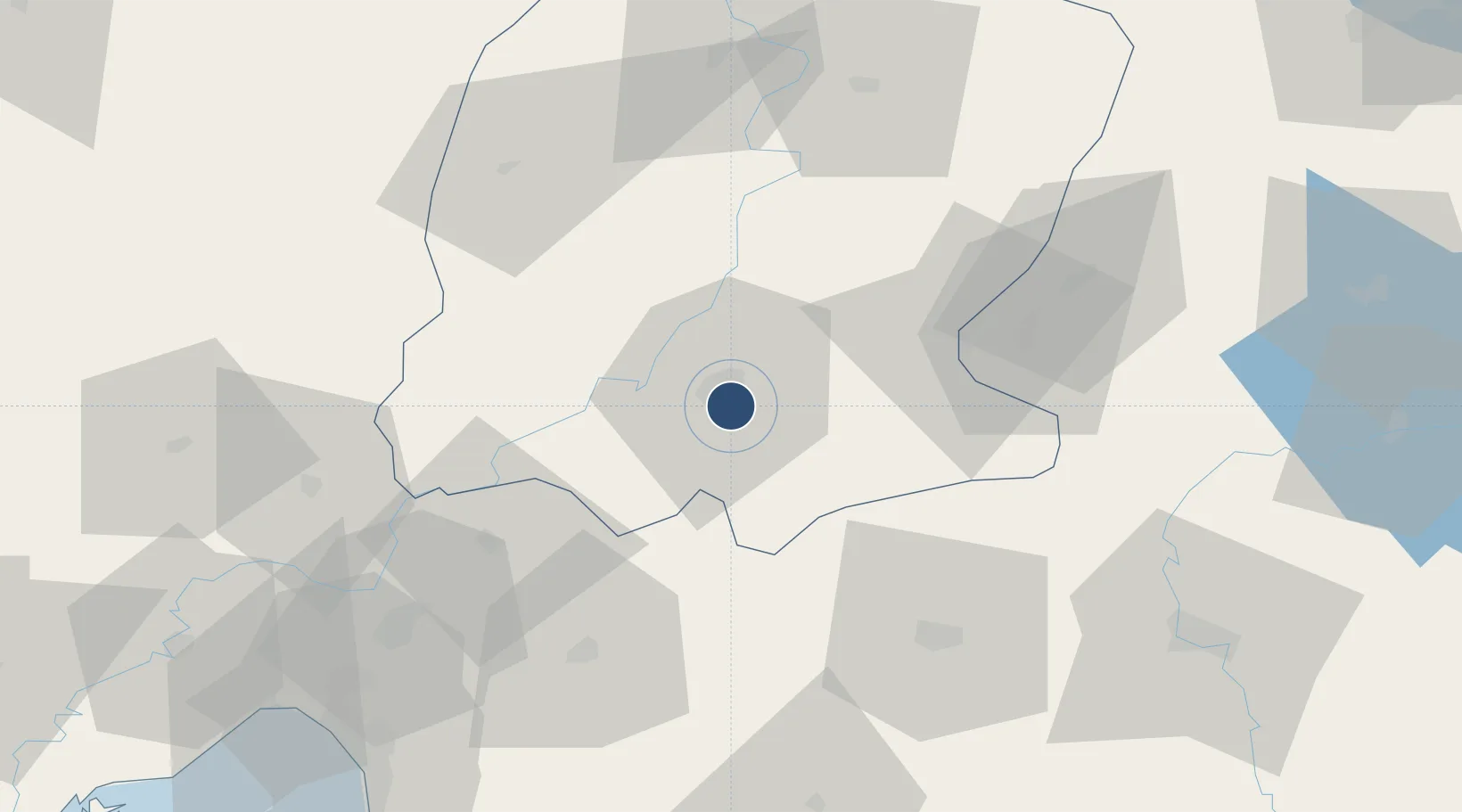
37.5388°, 36.9535°
7,546 ft
Longest runway
1
Runways
1,723 ft
Elevation

Runway & Layout

Kahramanmaraş Airport runway & taxiway layout
Runway & taxiway layout — OpenStreetMap (ODbL) / OurAirports

Radio Frequencies

TWR
118.75 MHz
EMR
123.1 MHz
SAR
OurAirports

Navaids

KHM VOR-DME Kahramanmaras 113.90 MHz
KHM NDB Kahramanmaras 374 kHz
OurAirports

Runways · 1

RunwayDimensions SurfaceTrue headingLit
08/26 7,546 × 98ft Asphalt 076°
OurAirports

Airport Specifications

IATA code
KCM
OurAirports
ICAO code
LTCN
OurAirports
Airport class
Medium airport
OurAirports
Scheduled service
Yes
OurAirports
Runway surface
Asphalt
OurAirports
Served city
Kahramanmaraş
OurAirports

Location

Location of LTCN
Natural Earth 10m (public domain) · K. Maras · LTCN · 37.54, 36.95GoogleOSMYandex

Nearby Logistics Neighbours

Airports
  1. 1Gaziantep Oğuzeli International Airport81 km
  2. 2Adıyaman Airport135 km
  3. 3Malatya Erhaç Airport141 km
  4. 4Hatay Airport144 km
  5. 5Malatya Tulga Airport146 km
Nearest neighbours — logibook spatial index (haversine) over the source coordinates
Cities
  1. 1Cakmak37 km
  2. 2Elbistan76 km
  3. 3Kadirli78 km
  4. 4Nizip95 km
  5. 5Dörtyol100 km
Nearest neighbours — logibook spatial index (haversine) over the source coordinates
Ports
  1. 1Toros Gubre111 km
  2. 2Yakacik114 km
  3. 3Botas116 km
  4. 4Iskenderun126 km
  5. 5Mersin221 km
Nearest neighbours — logibook spatial index (haversine) over the source coordinates
Trade Zones
  1. 1Gaziantep Free Zone61 km
  2. 2Osmaniye Organized Industrial Zone95 km
  3. 3Adana Yumurtalik Free Zone107 km
  4. 4Iskenderun Organized Industrial Zone115 km
  5. 5Adana Haci Sabanci Organized Industrial Zone135 km
Nearest neighbours — logibook spatial index (haversine) over the source coordinates
DatabookThe Record of Consolidated Knowledge
Türkiye beyond logistics?
Browse databook

All Sources

AirportsOurAirports
Public domain
Portsthe NGA World Port Index
Public domain (US gov)
LocationsUN/LOCODE
UN/LOCODE — free
Trade Zonesthe World Bank SEZ database
CC BY 4.0
Trade ZonesOpen Zone Map
CC BY
InfrastructureOpenStreetMap
ODbL 1.0
← Türkiye airports