Transport Functions
Road
Multimodal
Hub Profile
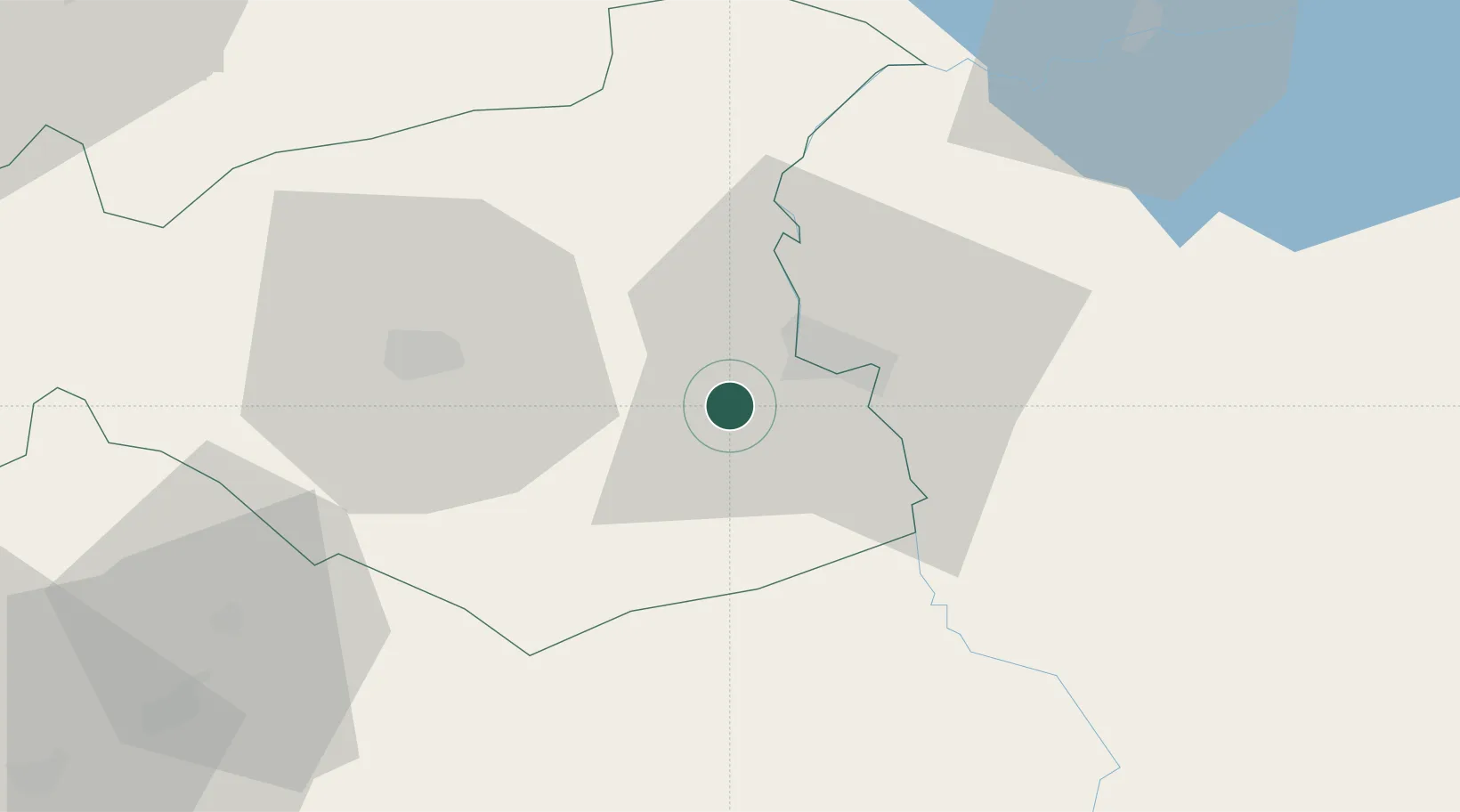
Place type
Provincial seat
Region
Gaziantep
Population
82,308
Time zone
Europe/Istanbul
Elevation
524 m
Location
Nearby Logistics Neighbours
Ports
- 1Yakacik146 km
- 2Iskenderun151 km
- 3Toros Gubre162 km
- 4Botas165 km
- 5Al Ladhiqiyah244 km
Airports
- 1Gaziantep Oğuzeli International Airport28 km
- 2Kahramanmaraş Airport95 km
- 3Adıyaman Airport101 km
- 4Aleppo International Airport104 km
- 5Şanlıurfa GAP Airport110 km
Trade Zones
- 1Gaziantep Free Zone39 km
- 2Aleppo Free Zone96 km
- 3Iskenderun Organized Industrial Zone144 km
- 4Osmaniye Organized Industrial Zone149 km
- 5Adana Yumurtalik Free Zone157 km
DatabookThe Record of Consolidated Knowledge
Türkiye beyond logistics?