Transport Functions
Rail
Road
Multimodal
Hub Profile
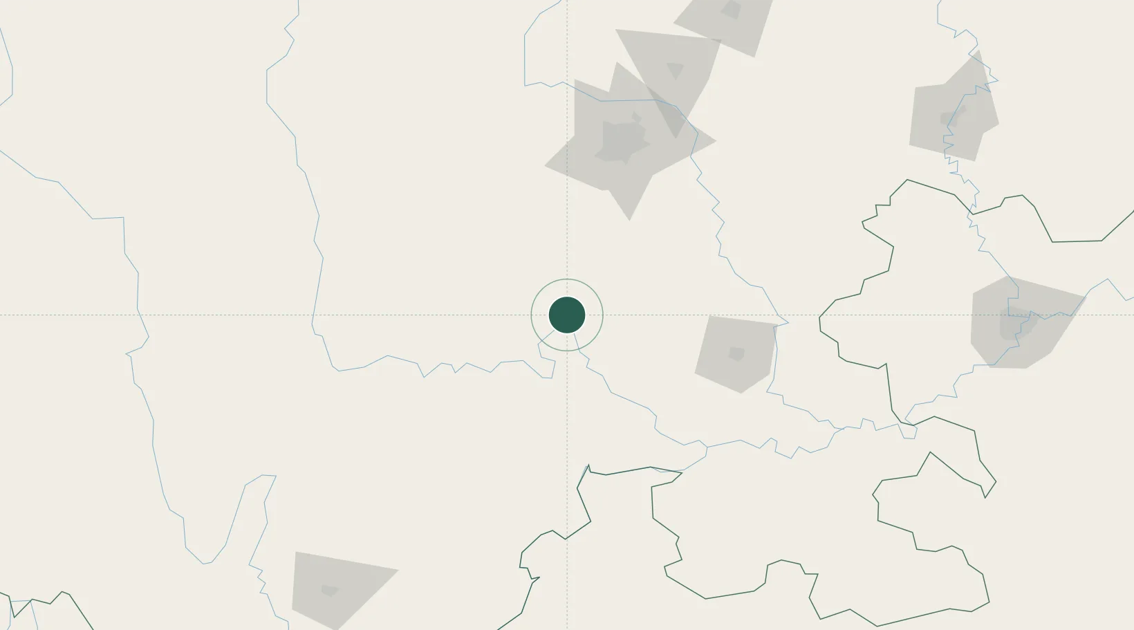
Place type
Populated place
Region
Sichuan
Population
662,814
Time zone
Asia/Shanghai
Elevation
375 m
Location
Nearby Logistics Neighbours
Cities
- 1Ziyang103 km
- 2Zigong103 km
- 3Tianfu, Chengdu104 km
- 4Chengdu107 km
- 5Xiantan115 km
Ports
- 1Fang-Cheng988 km
- 2Qinzhou1000 km
- 3Hai Phong1010 km
- 4Hon Gai1018 km
- 5Cam Pha1020 km
Airports
DatabookThe Record of Consolidated Knowledge
China beyond logistics?