UN/LOCODE hub · Guatemala
GTSCQ
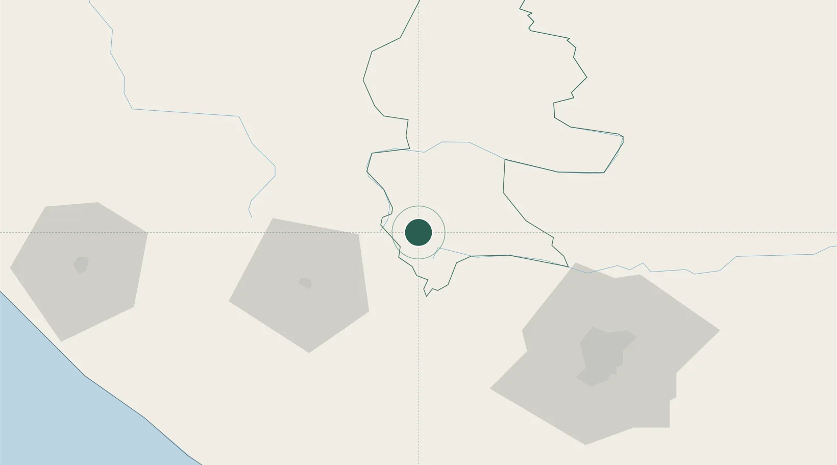
Santa Cruz del Quiche
15.0167°, -91.1500°
78,279
Population
1
Transport functions
Transport Functions
Multimodal
Hub Profile
Place type
Regional capital
Region
Quiché
Population
78,279
Time zone
America/Guatemala
Elevation
1,979 m
Location
Nearby Logistics Neighbours
Cities
- 1Solola28 km
- 2Nahualate60 km
- 3San Antonio Suchitepéquez61 km
- 4Santa Bárbara66 km
- 5Patulul67 km
Ports
- 1Puerto Quetzal128 km
- 2Puerto Madero144 km
- 3Acajutla211 km
- 4Santo Tomas De Castilla282 km
- 5Puerto Barrios285 km
Airports
- 1Quezaltenango Airport41 km
- 2Huehuetenango Airport51 km
- 3Retalhuleu Airport81 km
- 4La Aurora International Airport83 km
- 5Coban Airport94 km
Trade Zones
- 1Zona Franca Cropa81 km
- 2Grupo Zeta Free Zone83 km
- 3Special Economic Zone of Puerto Chiapas140 km
- 4Zona Franca 10194 km
- 5Zona Franca Santa Ana206 km
DatabookThe Record of Consolidated Knowledge
Guatemala beyond logistics?