Transport Functions
Multimodal
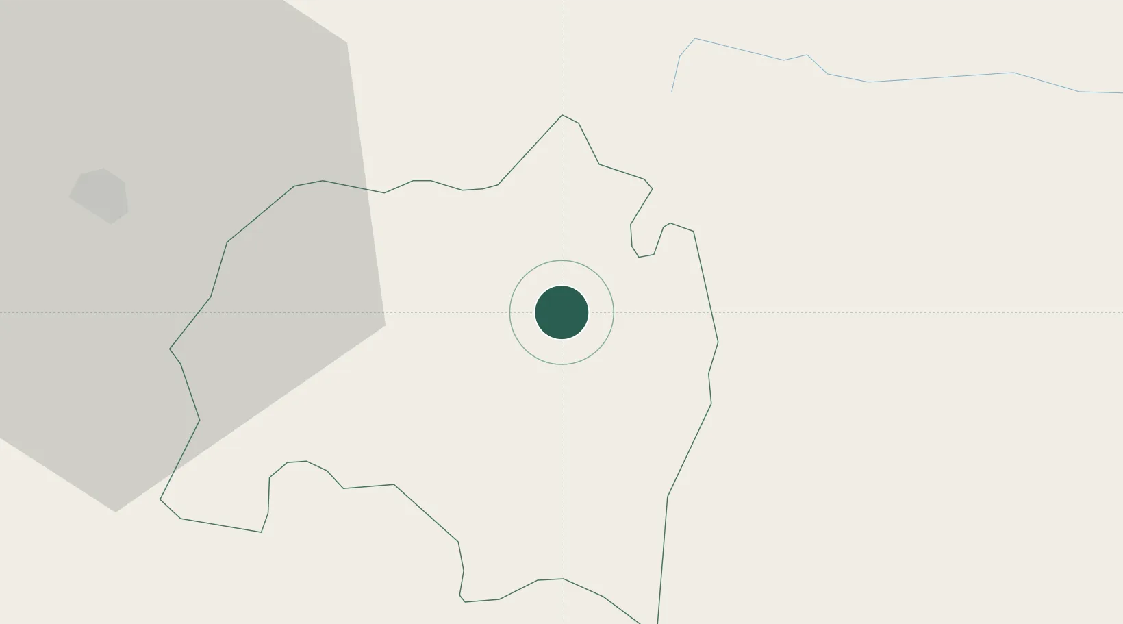
Hub Profile
Place type
Regional capital
Region
Sololá
Population
45,373
Time zone
America/Guatemala
Elevation
2,044 m
Location
Nearby Logistics Neighbours
Cities
- 1Santa Cruz del Quiche28 km
- 2Nahualate35 km
- 3San Antonio Suchitepéquez36 km
- 4Santa Bárbara38 km
- 5Patulul39 km
Ports
- 1Puerto Quetzal103 km
- 2Puerto Madero136 km
- 3Acajutla194 km
- 4Santo Tomas De Castilla294 km
- 5Puerto Barrios297 km
Airports
- 1Quezaltenango Airport36 km
- 2Retalhuleu Airport62 km
- 3Huehuetenango Airport70 km
- 4La Aurora International Airport73 km
- 5San José Airport100 km
Trade Zones
- 1Grupo Zeta Free Zone68 km
- 2Zona Franca Cropa72 km
- 3Special Economic Zone of Puerto Chiapas132 km
- 4Zona Franca 10182 km
- 5Zona Franca Santa Ana196 km
DatabookThe Record of Consolidated Knowledge
Guatemala beyond logistics?