Large airport · Dominican Republic

Punta Cana International AirportMDPC
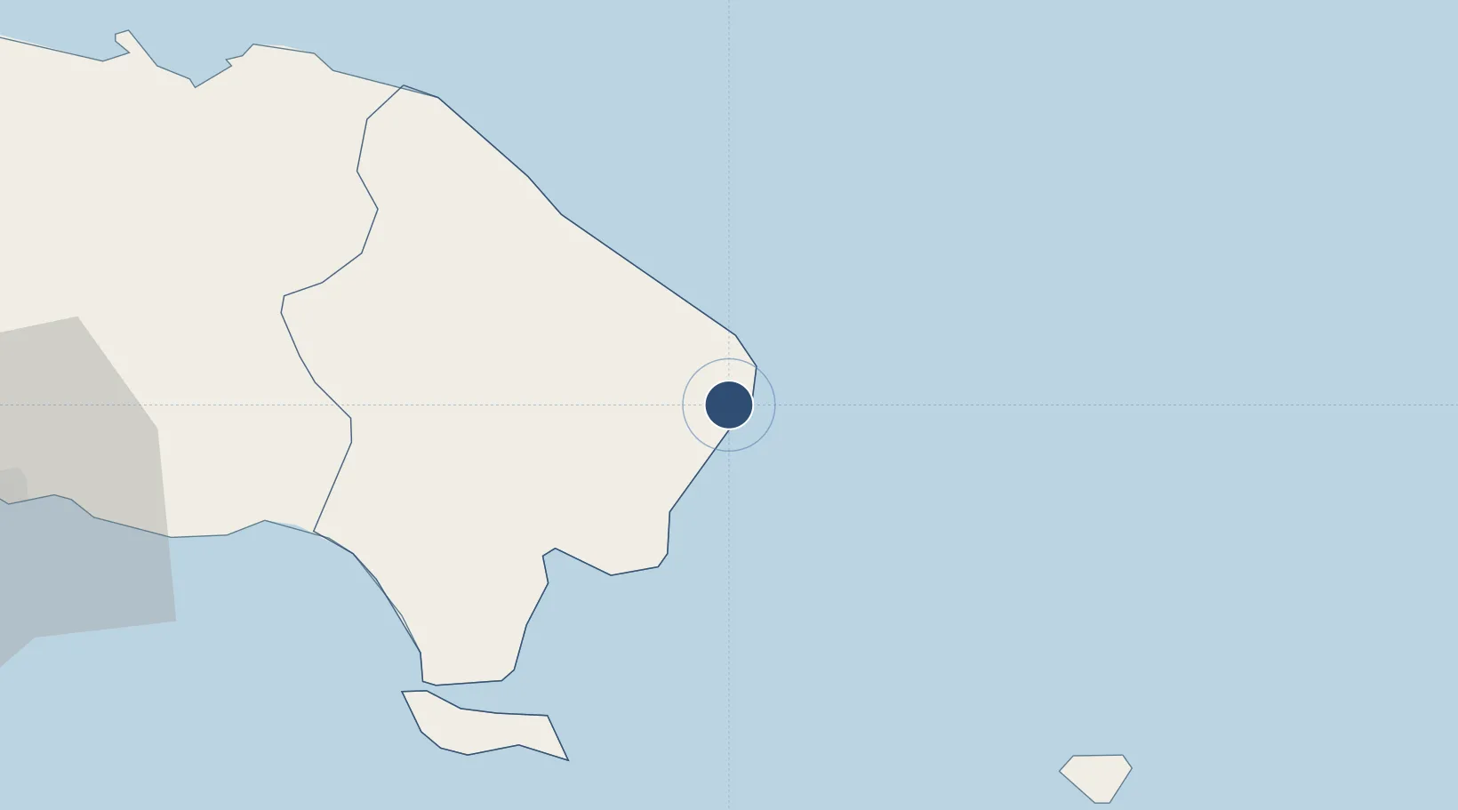
18.5671°, -68.3646°
10,171 ft
Longest runway
2
Runways
47 ft
Elevation

Runway & Layout

Punta Cana International Airport runway & taxiway layout
Runway & taxiway layout — OpenStreetMap (ODbL) / OurAirports

Radio Frequencies

ATIS
132.85 MHz
TWR
118.8 MHz
GND
121.9 MHz
GROUND
APP
119.3 MHz
LAS AMERICAS APP
A/D
119.7 MHz
APP
DLV
121.65 MHz
DELIVERY
OurAirports

Navaids

PCA NDB Punta Cana 425 kHz
PNA VOR-DME Punta Cana 112.70 MHz
OurAirports

Runways · 2

RunwayDimensions SurfaceTrue headingLit
08/26 10,171 × 148ft Asphalt 074°
09/27 10,171 × 148ft Asphalt 083°
OurAirports

Airport Specifications

IATA code
PUJ
OurAirports
ICAO code
MDPC
OurAirports
Airport class
Large airport
OurAirports
Scheduled service
Yes
OurAirports
Runway surface
Asphalt
OurAirports
Served city
Punta Cana
OurAirports

Location

Location of MDPC
Natural Earth 10m (public domain) · La Altagracia · MDPC · 18.57, -68.36GoogleOSMYandex

Nearby Logistics Neighbours

Airports
  1. 1Casa De Campo International Airport59 km
  2. 2Los Llanos de Sabanatosa Airport122 km
  3. 3Rafael Hernández International Airport131 km
  4. 4Eugenio Maria De Hostos Airport133 km
  5. 5Las Américas International Airport138 km
Nearest neighbours — logibook spatial index (haversine) over the source coordinates
Cities
  1. 1Casa de Campo59 km
  2. 2Catalina Island71 km
  3. 3San Pedro de Macorís100 km
  4. 4Juan Dolio112 km
  5. 5Sabana de la Mar121 km
Nearest neighbours — logibook spatial index (haversine) over the source coordinates
Ports
  1. 1La Romana66 km
  2. 2San Pedro De Macoris101 km
  3. 3Santa Barbara De Samana124 km
  4. 4Aguadilla129 km
  5. 5Mayaguez135 km
Nearest neighbours — logibook spatial index (haversine) over the source coordinates
Trade Zones
  1. 1Punta Cana Airport0 km
  2. 2Zona Franca Industrial Higuey36 km
  3. 3La Romana I Industrial Free Zone64 km
  4. 4Zona Franca La Romana65 km
  5. 5La Romana II Industrial Free Zone66 km
Nearest neighbours — logibook spatial index (haversine) over the source coordinates
DatabookThe Record of Consolidated Knowledge
Dominican Republic beyond logistics?
Browse databook

All Sources

AirportsOurAirports
Public domain
Portsthe NGA World Port Index
Public domain (US gov)
LocationsUN/LOCODE
UN/LOCODE — free
Trade Zonesthe World Bank SEZ database
CC BY 4.0
Trade ZonesOpen Zone Map
CC BY
InfrastructureOpenStreetMap
ODbL 1.0
← Dominican Republic airports