Transport Functions
Rail
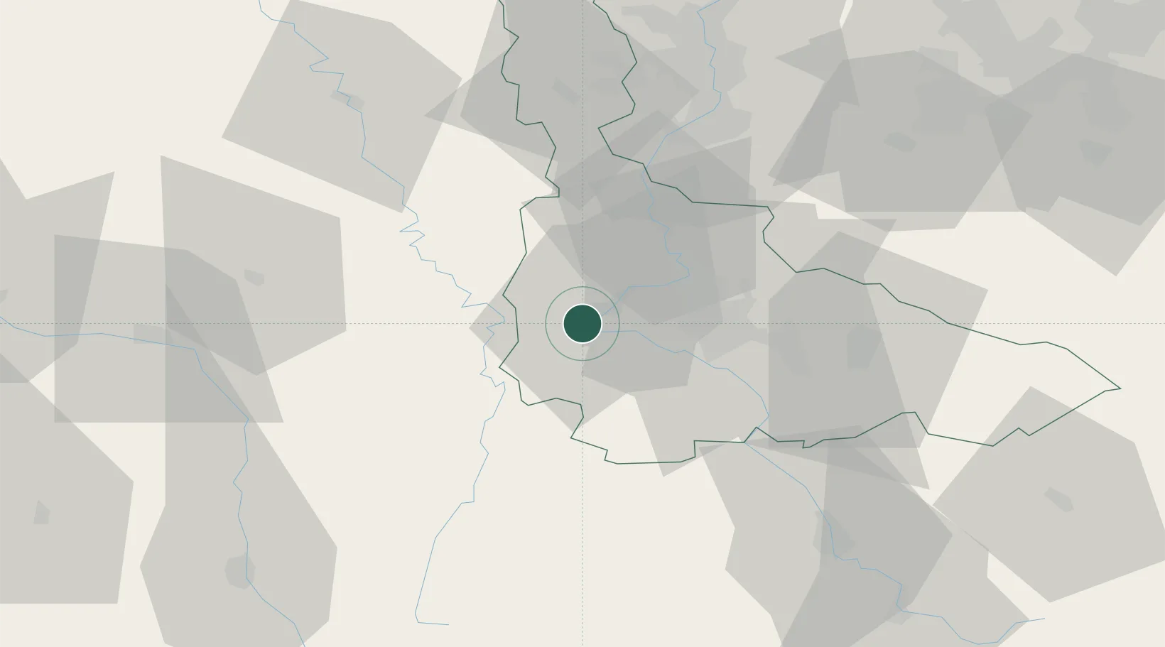
Hub Profile
Place type
District seat
Region
Grand Est
Population
17,680
Time zone
Europe/Paris
Elevation
209 m
Logistics facilities
1
Location
Nearby Logistics Neighbours
Cities
- 1Bruley7 km
- 2Lucey7 km
- 3Pont-Saint-Vincent17 km
- 4Grosrouvres19 km
- 5Pompey19 km
Airports
Trade Zones
- 1ZFU Maxéville, Laxou, et de Nancy20 km
- 2ZFU Metz52 km
- 3ZFU Woippy-Metz57 km
- 4ZFU Saint-Dizier76 km
- 5ZFU La Cité Behren-lès-Forbach94 km
DatabookThe Record of Consolidated Knowledge
France beyond logistics?