Transport Functions
Rail
Road
Hub Profile
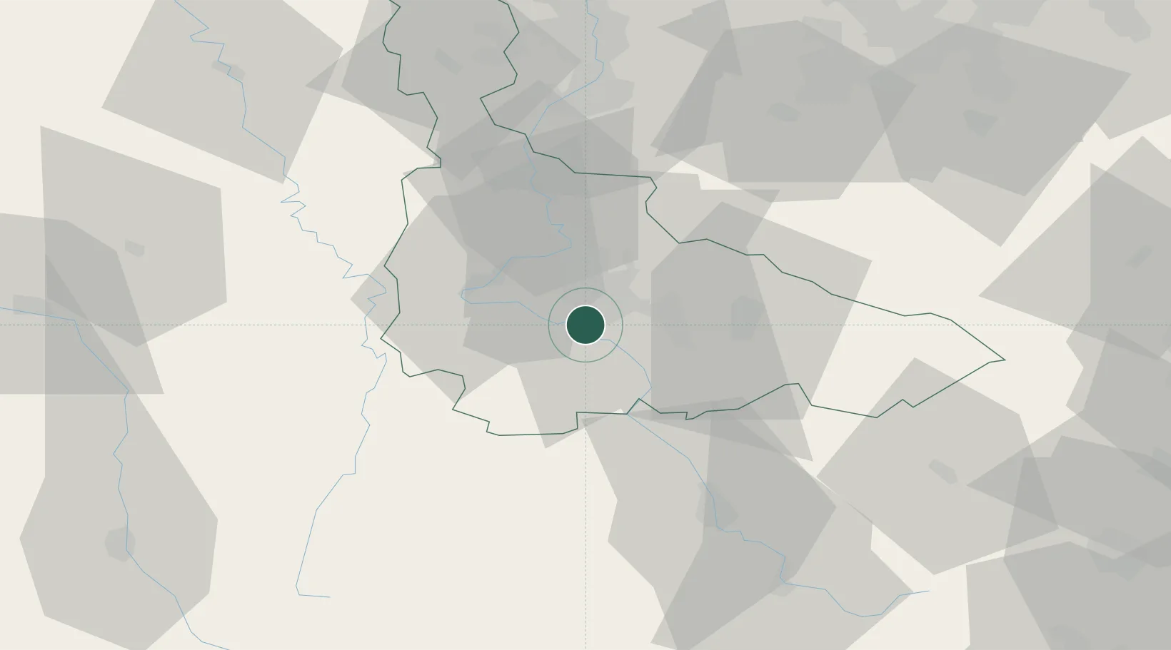
Place type
Populated place
Region
Grand Est
Population
2,958
Time zone
Europe/Paris
Elevation
257 m
Location
Nearby Logistics Neighbours
Cities
- 1Ludres2 km
- 2Pont-Saint-Vincent5 km
- 3Houdemont6 km
- 4Heillecourt6 km
- 5Autrey8 km
Airports
Trade Zones
- 1ZFU Maxéville, Laxou, et de Nancy12 km
- 2ZFU Metz56 km
- 3ZFU Woippy-Metz61 km
- 4ZFU La Cité Behren-lès-Forbach84 km
- 5ZFU Saint-Dizier95 km
DatabookThe Record of Consolidated Knowledge
France beyond logistics?