Transport Functions
Rail
Road
Hub Profile
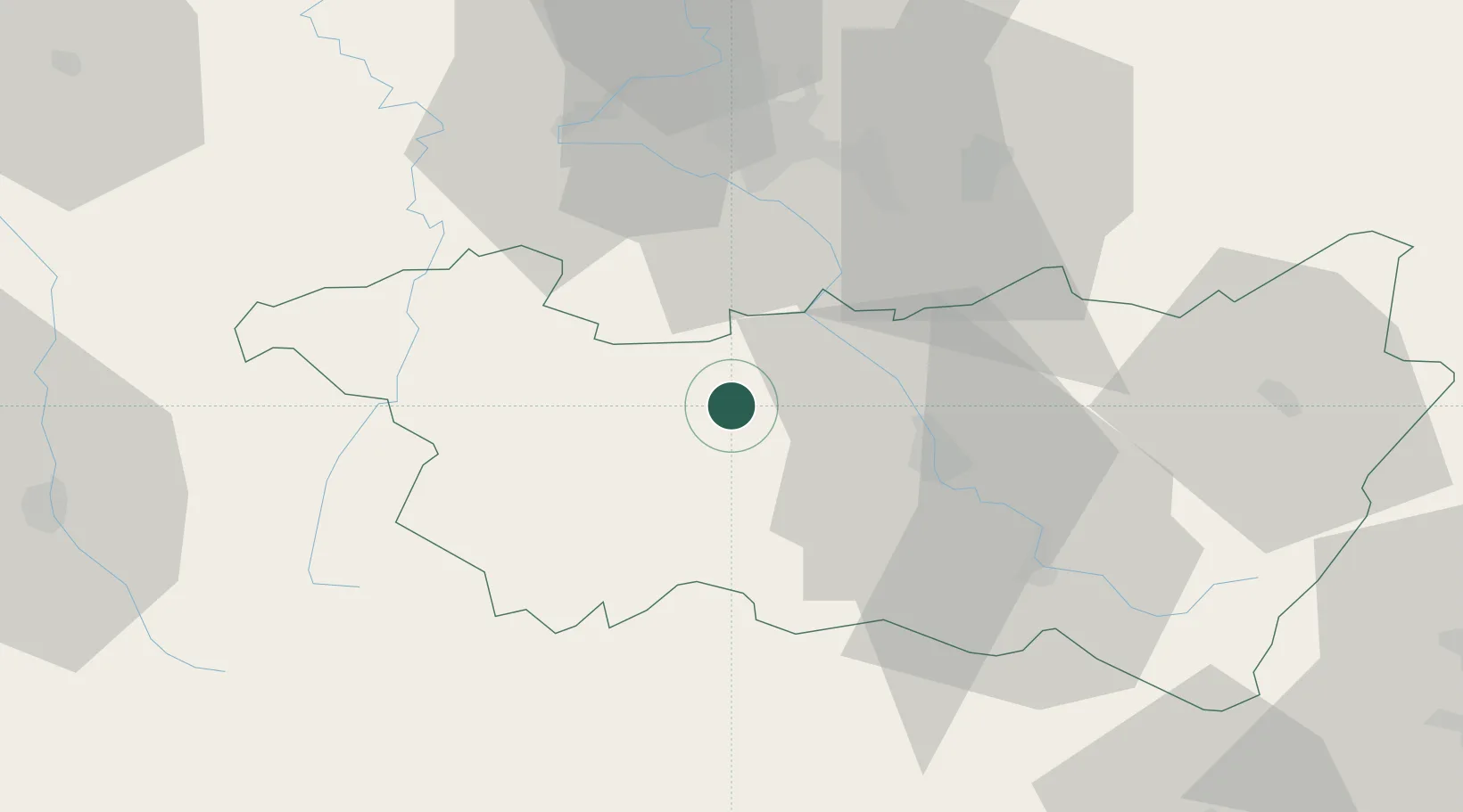
Place type
Populated place
Region
Grand Est
Population
571
Time zone
Europe/Paris
Elevation
286 m
Location
Nearby Logistics Neighbours
Cities
- 1Mirecourt4 km
- 2Charmes15 km
- 3Vincey16 km
- 4Vittel17 km
- 5Chaumousey18 km
Airports
Trade Zones
- 1ZFU Maxéville, Laxou, et de Nancy49 km
- 2ZFU Belfort85 km
- 3ZFU Metz93 km
- 4ZFU Montbéliard97 km
- 5ZFU Woippy-Metz98 km
DatabookThe Record of Consolidated Knowledge
France beyond logistics?