Transport Functions
Port
Rail
Hub Profile
Place type
District seat
Region
Hauts-de-France
Population
31,568
Time zone
Europe/Paris
Elevation
37 m
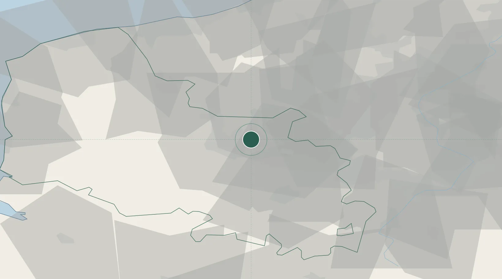
Location
Nearby Logistics Neighbours
Cities
- 1Fouquières-lès-Béthune2 km
- 2Beuvry4 km
- 3Labourse5 km
- 4Sailly-Labourse6 km
- 5Richebourg-Saint-Vaast9 km
Ports
- 1Dunkerque Port Est63 km
- 2Gravelines63 km
- 3Nieuwpoort67 km
- 4Calais73 km
- 5Boulogne-Sur-Mer76 km
Airports
DatabookThe Record of Consolidated Knowledge
France beyond logistics?