Transport Functions
Rail
Road
Hub Profile
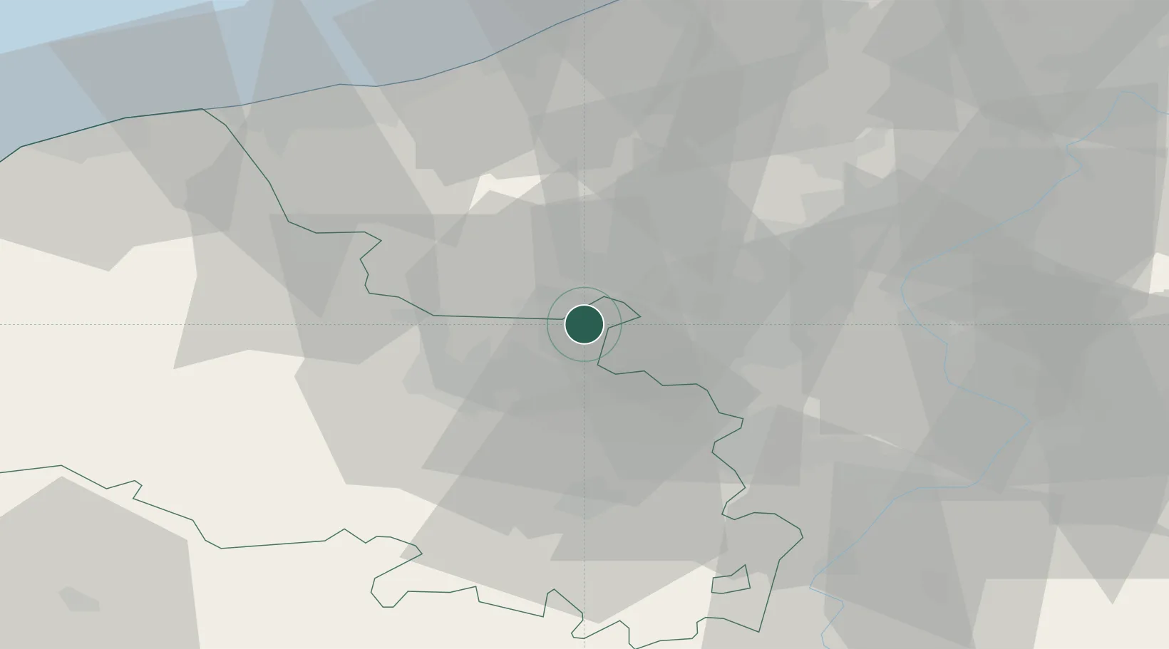
Place type
Populated place
Region
Hauts-de-France
Population
4,494
Time zone
Europe/Paris
Elevation
19 m
Location
Nearby Logistics Neighbours
Cities
- 1Sailly-sur-la-Lys4 km
- 2Estaires4 km
- 3Richebourg-Saint-Vaast4 km
- 4Aubers5 km
- 5Bois-Grenier9 km
Ports
- 1Nieuwpoort58 km
- 2Dunkerque Port Est58 km
- 3Gravelines63 km
- 4Oostende69 km
- 5Calais75 km
Airports
DatabookThe Record of Consolidated Knowledge
France beyond logistics?