Transport Functions
Road
Multimodal
Hub Profile
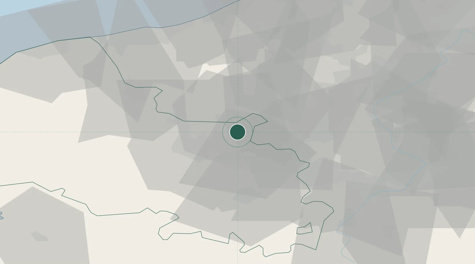
Place type
Locality
Region
Hauts-de-France
Time zone
Europe/Paris
Elevation
19 m
Location
Nearby Logistics Neighbours
Cities
- 1Laventie4 km
- 2Estaires6 km
- 3La Bassée7 km
- 4Aubers7 km
- 5Sailly-sur-la-Lys8 km
Ports
- 1Dunkerque Port Est60 km
- 2Nieuwpoort61 km
- 3Gravelines63 km
- 4Oostende73 km
- 5Calais75 km
Airports
DatabookThe Record of Consolidated Knowledge
France beyond logistics?