Medium airport · Canada
Rivière-du-Loup AirportCYRI
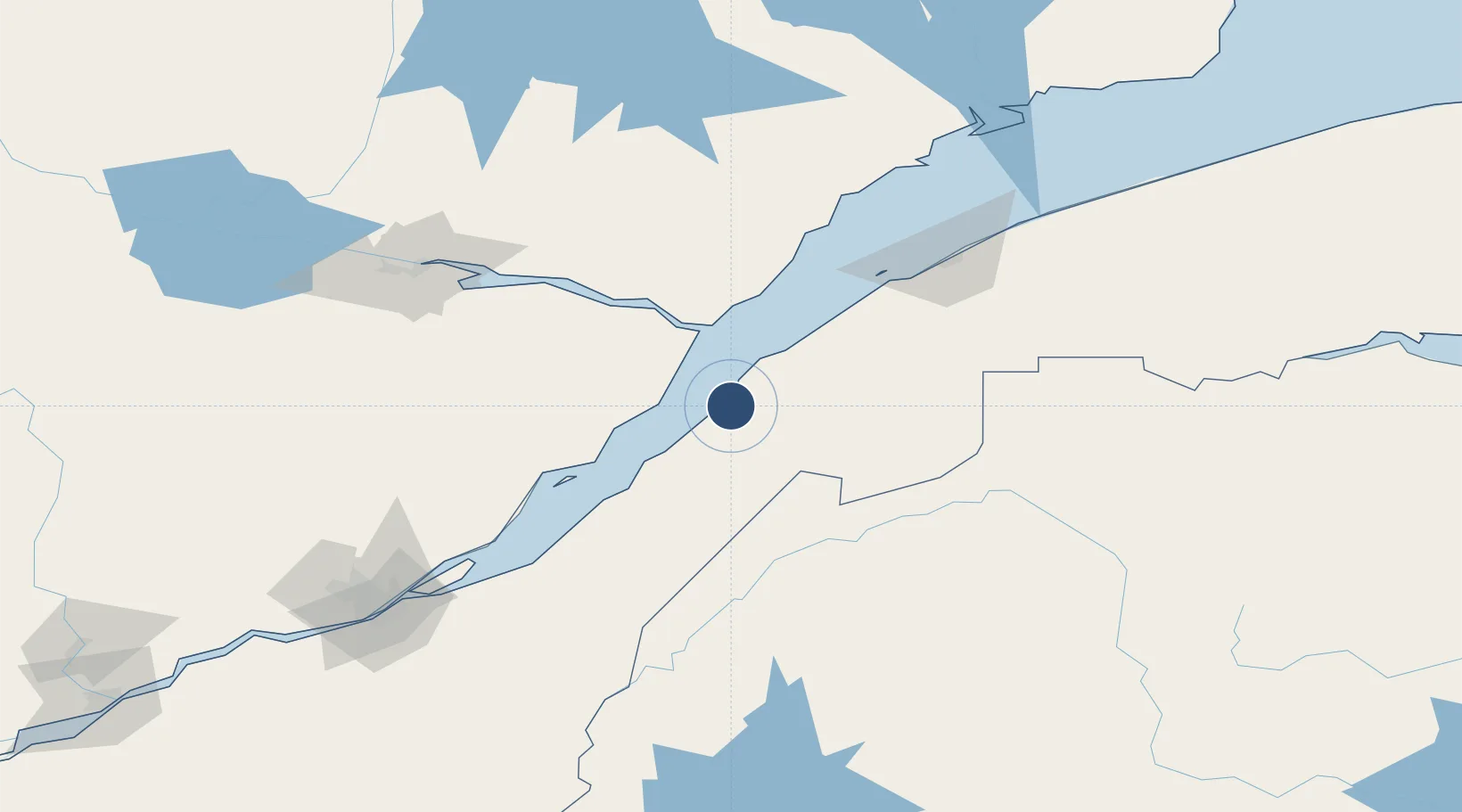
47.7644°, -69.5847°
6,000 ft
Longest runway
1
Runways
427 ft
Elevation
Runway & Layout

Radio Frequencies
CNTR
125.1 MHz
MONTREAL CNTR
UNIC
122.8 MHz
ATF/UNICOM
Navaids
RI NDB Riviere Du Loup 201 kHz
YRI VOR Riviere Du Loup 113.90 MHz
Runways · 1
| Runway | Dimensions | Surface | True heading | Lit |
|---|---|---|---|---|
| 05/23 | 6,000 × 150ft | Asphalt | 033° | ✓ |
Airport Specifications
IATA code
YRI
ICAO code
CYRI
Airport class
Medium airport
Scheduled service
No
Runway surface
Asphalt
Served city
Rivière-du-Loup
Location
Nearby Logistics Neighbours
Airports
- 1Charlevoix Airport51 km
- 2Rimouski Airport113 km
- 3Forestville Airport115 km
- 4Saguenay-Bagotville Airport122 km
- 5Mont Joli Airport139 km
Cities
- 1Rivière-du-Loup8 km
- 2Saint-Pascal30 km
- 3Pohénégamook39 km
- 4Trois-Pistoles46 km
- 5Saint-Aimé-des-Lacs54 km
Ports
- 1Riviere Du Loup9 km
- 2Rimouski110 km
- 3La Baie (Port Alfred)115 km
- 4Chicoutimi (Port Saguenay)133 km
- 5Quebec162 km
Trade Zones
- 1FTZ No. 179 Madawaska108 km
- 2Québec City FTZ163 km
- 3FTZ No. 058 Bangor334 km
- 4FTZ No. 186 Waterville358 km
- 5Saint John386 km
DatabookThe Record of Consolidated Knowledge
Canada beyond logistics?