UN/LOCODE hub · United States
USEIK
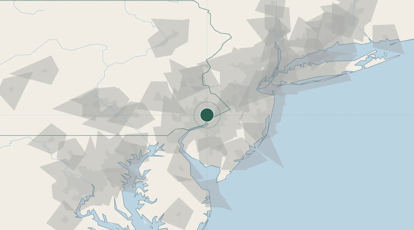
Elkins Park
40.0667°, -75.1167°
6,901
Population
2
Transport functions
Transport Functions
Road
Multimodal
Hub Profile
Place type
Populated place
Region
Pennsylvania
Population
6,901
Time zone
America/New_York
Elevation
48 m
Location
Nearby Logistics Neighbours
Cities
- 1Glenside5 km
- 2Bethayres7 km
- 3Nicetown8 km
- 4Port Richmond9 km
- 5Manayunk10 km
Ports
- 1Philadelphia13 km
- 2Camden13 km
- 3Gloucester19 km
- 4Burlington21 km
- 5Bristol23 km
Airports
Trade Zones
- 1FTZ No. 035 Philadelphia14 km
- 2FTZ No. 200 Mercer County33 km
- 3FTZ No. 099 Wilmington51 km
- 4FTZ No. 235 Lakewood75 km
- 5FTZ No. 142 Salem Millville75 km
DatabookThe Record of Consolidated Knowledge
United States beyond logistics?