Transport Functions
Rail
Road
Hub Profile
Place type
Populated place
Region
Pennsylvania
Time zone
America/New_York
Elevation
44 m
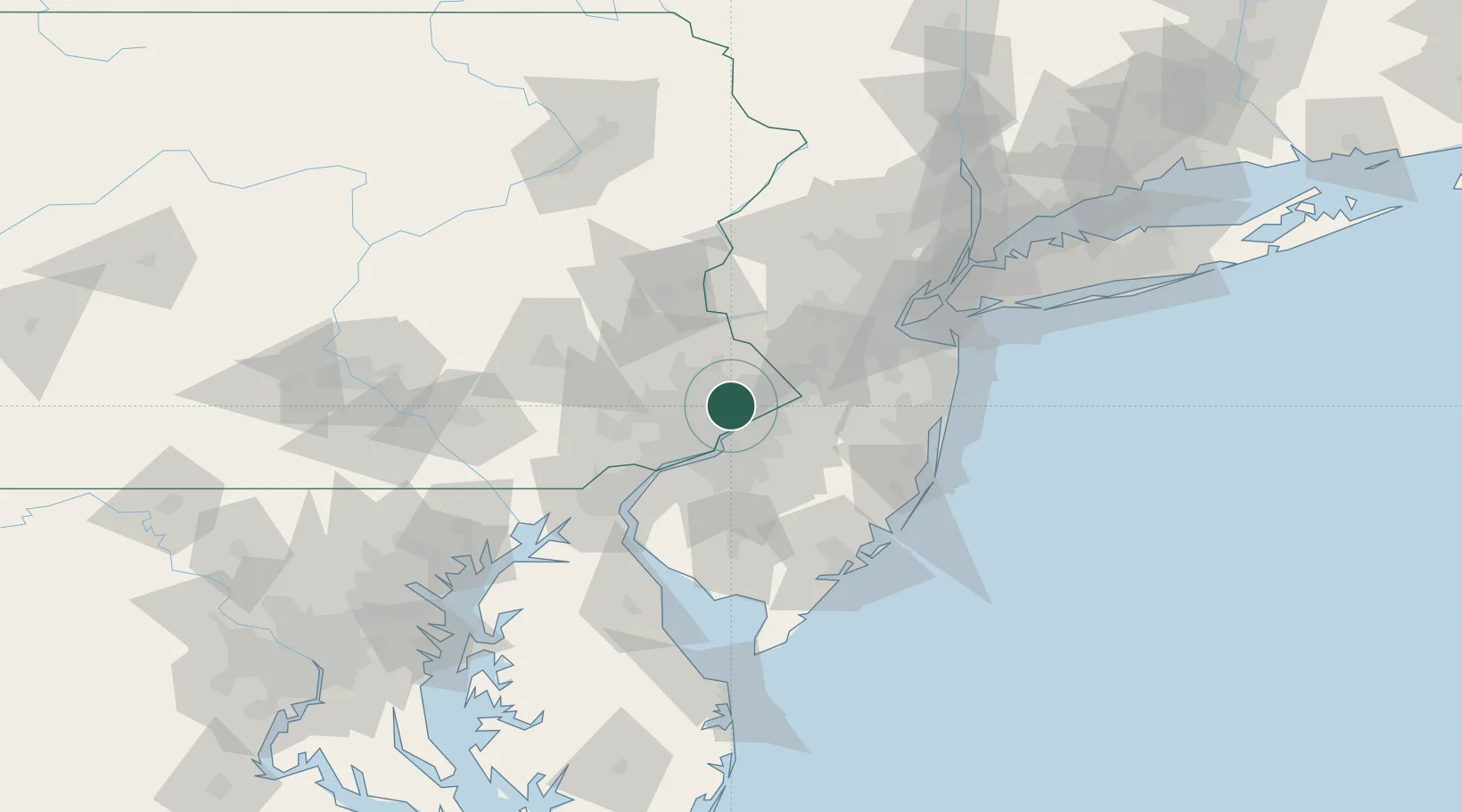
Location
Nearby Logistics Neighbours
Cities
- 1Elkins Park7 km
- 2Glenside7 km
- 3Ivyland9 km
- 4Newportville14 km
- 5Nicetown15 km
Ports
- 1Burlington17 km
- 2Bristol19 km
- 3Philadelphia19 km
- 4Camden19 km
- 5Gloucester25 km
Airports
Trade Zones
- 1FTZ No. 035 Philadelphia21 km
- 2FTZ No. 200 Mercer County26 km
- 3FTZ No. 099 Wilmington58 km
- 4FTZ No. 235 Lakewood71 km
- 5FTZ No. 142 Salem Millville81 km
DatabookThe Record of Consolidated Knowledge
United States beyond logistics?