Transport Functions
Rail
Road
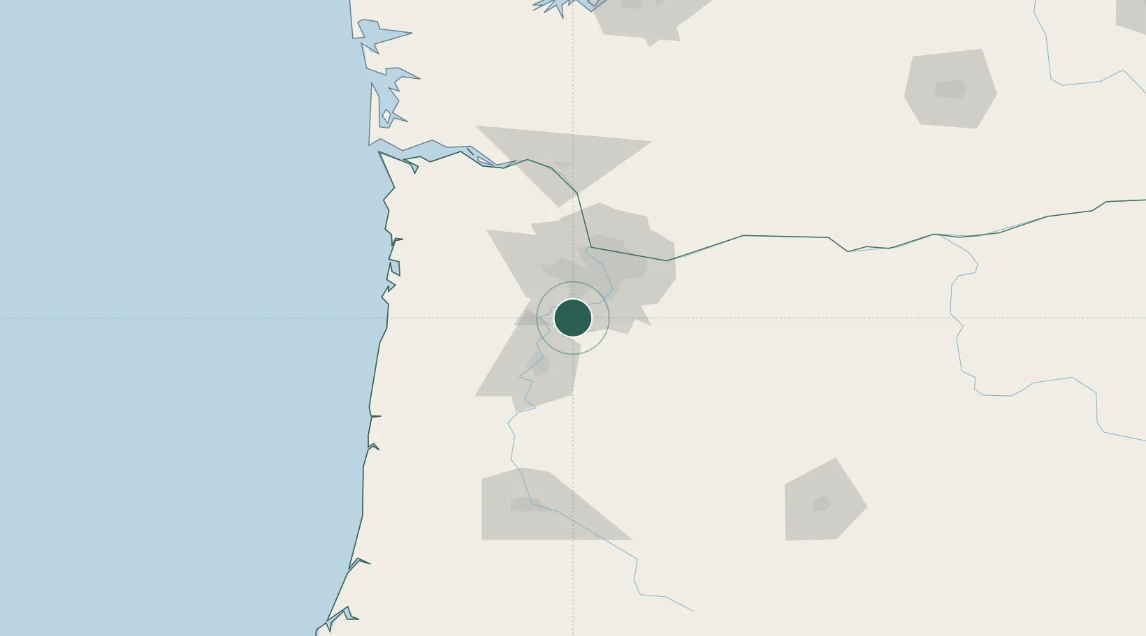
Hub Profile
Place type
Populated place
Region
Oregon
Population
1,001
Time zone
America/Los_Angeles
Elevation
60 m
Location
Nearby Logistics Neighbours
Cities
- 1Mount Angel19 km
- 2Lafayette21 km
- 3Beaver Creek25 km
- 4Silverton25 km
- 5Carlton28 km
Airports
Trade Zones
- 1FTZ No. 045 Portland36 km
- 2FTZ No. 296 Vancouver48 km
- 3FTZ No. 255 Washington County57 km
- 4FTZ No. 120 Cowlitz County101 km
- 5FTZ No. 216 Olympia203 km
DatabookThe Record of Consolidated Knowledge
United States beyond logistics?