Runway & Layout

Airport Specifications
IATA code
QCU
ICAO code
BGAK
Airport class
Heliport
Scheduled service
Yes
Served city
Akunnaaq
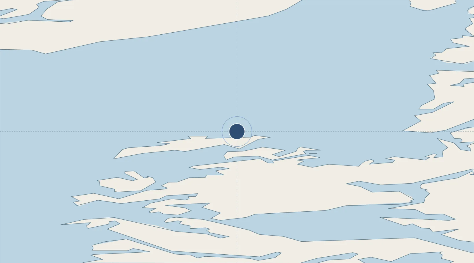
Location
Nearby Logistics Neighbours
Airports
- 1Aasiaat Airport18 km
- 2Ikamiut Heliport24 km
- 3Kitsissuarsuit Heliport34 km
- 4Qasigiannguit Heliport48 km
- 5Niaqornaarsuk Heliport60 km
Cities
- 1Kangerlussuaq Havn206 km
- 2Maarmorliik269 km
- 3Seqi Olivine Mine421 km
- 4Toqqusaq431 km
- 5Nuuk (Godthaab)508 km
Ports
- 1Aasiaat22 km
- 2Qasigiannguit-Christianshab47 km
- 3Illulissat (Jakobshavn)72 km
- 4Qeqertarsuaq72 km
- 5Soendre Stroemfjord208 km
Trade Zones
- 1Crossroads Business Park2205 km
- 2FTZ No. 179 Madawaska2547 km
- 3Cape Breton Regional Municipality Foreign Trade Zone2555 km
- 4Québec City FTZ2656 km
- 5Saint John2724 km
DatabookThe Record of Consolidated Knowledge
Greenland beyond logistics?