Runway & Layout

Airport Specifications
IATA code
QJI
ICAO code
BGIT
Airport class
Heliport
Scheduled service
Yes
Served city
Ikamiut
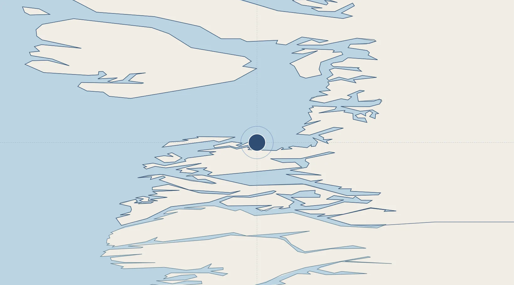
Location
Nearby Logistics Neighbours
Airports
- 1Akunnaaq Heliport24 km
- 2Qasigiannguit Heliport34 km
- 3Aasiaat Airport40 km
- 4Ilimanaq Heliport57 km
- 5Kitsissuarsuit Heliport58 km
Cities
- 1Kangerlussuaq Havn189 km
- 2Maarmorliik279 km
- 3Seqi Olivine Mine408 km
- 4Toqqusaq419 km
- 5Nuuk (Godthaab)495 km
Ports
- 1Qasigiannguit-Christianshab33 km
- 2Aasiaat43 km
- 3Illulissat (Jakobshavn)71 km
- 4Qeqertarsuaq95 km
- 5Soendre Stroemfjord191 km
Trade Zones
- 1Crossroads Business Park2194 km
- 2FTZ No. 179 Madawaska2547 km
- 3Cape Breton Regional Municipality Foreign Trade Zone2549 km
- 4Québec City FTZ2657 km
- 5Saint John2721 km
DatabookThe Record of Consolidated Knowledge
Greenland beyond logistics?