Runway & Layout

Airport Specifications
IATA code
QJE
ICAO code
BGKT
Airport class
Heliport
Scheduled service
Yes
Served city
Kitsissuarsuit
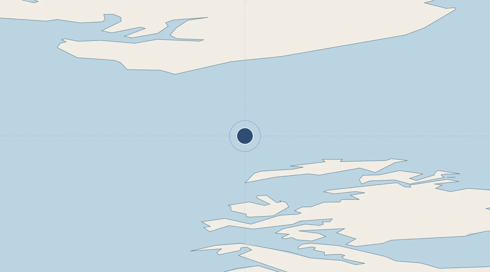
Location
Nearby Logistics Neighbours
Airports
- 1Aasiaat Airport20 km
- 2Akunnaaq Heliport34 km
- 3Qeqertarsuaq Heliport46 km
- 4Ikamiut Heliport58 km
- 5Kangaatsiaq Heliport62 km
Cities
- 1Kangerlussuaq Havn229 km
- 2Maarmorliik263 km
- 3Seqi Olivine Mine438 km
- 4Toqqusaq446 km
- 5Nuuk (Godthaab)523 km
Ports
- 1Aasiaat19 km
- 2Qeqertarsuaq45 km
- 3Qasigiannguit-Christianshab78 km
- 4Illulissat (Jakobshavn)90 km
- 5Uummannaq205 km
Trade Zones
- 1Crossroads Business Park2216 km
- 2FTZ No. 179 Madawaska2544 km
- 3Cape Breton Regional Municipality Foreign Trade Zone2559 km
- 4Québec City FTZ2650 km
- 5Saint John2723 km
DatabookThe Record of Consolidated Knowledge
Greenland beyond logistics?