Medium airport · Greenland
Aasiaat AirportBGAA
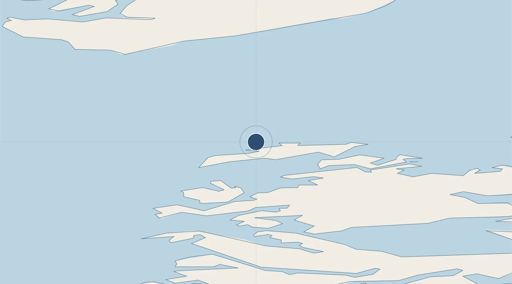
68.7218°, -52.7847°
2,621 ft
Longest runway
1
Runways
74 ft
Elevation
Runway & Layout

Navaids
AA NDB Aasiaat 336 kHz
AS DME Aasiaat 108.75 MHz
Runways · 1
| Runway | Dimensions | Surface | True heading | Lit |
|---|---|---|---|---|
| 12/30 | 2,621 × —ft | Unknown | — | — |
Airport Specifications
IATA code
JEG
ICAO code
BGAA
Airport class
Medium airport
Scheduled service
Yes
Runway surface
Unknown
Served city
Aasiaat
Location
Nearby Logistics Neighbours
Airports
- 1Akunnaaq Heliport18 km
- 2Kitsissuarsuit Heliport20 km
- 3Ikamiut Heliport40 km
- 4Kangaatsiaq Heliport53 km
- 5Niaqornaarsuk Heliport54 km
Cities
- 1Kangerlussuaq Havn210 km
- 2Maarmorliik274 km
- 3Seqi Olivine Mine421 km
- 4Toqqusaq429 km
- 5Nuuk (Godthaab)507 km
Ports
- 1Aasiaat4 km
- 2Qeqertarsuaq64 km
- 3Qasigiannguit-Christianshab65 km
- 4Illulissat (Jakobshavn)87 km
- 5Sisimiut204 km
Trade Zones
- 1Crossroads Business Park2201 km
- 2FTZ No. 179 Madawaska2537 km
- 3Cape Breton Regional Municipality Foreign Trade Zone2548 km
- 4Québec City FTZ2644 km
- 5Saint John2715 km
DatabookThe Record of Consolidated Knowledge
Greenland beyond logistics?