Runway & Layout

Airport Specifications
IATA code
JCH
ICAO code
BGCH
Airport class
Heliport
Scheduled service
Yes
Served city
Qasigiannguit
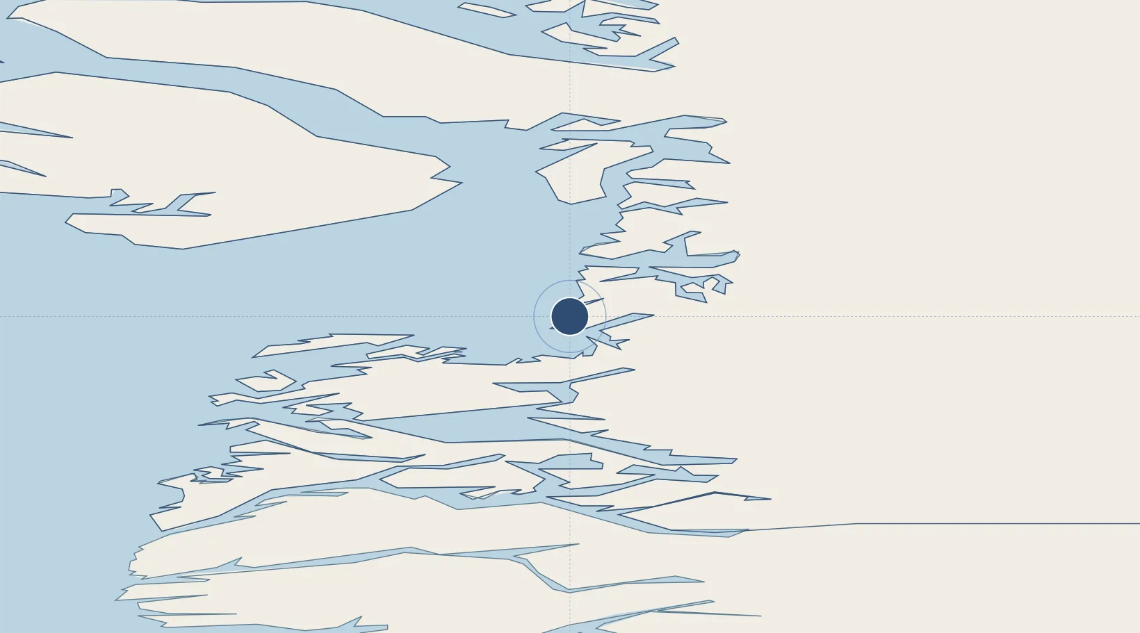
Location
Nearby Logistics Neighbours
Airports
- 1Ilimanaq Heliport29 km
- 2Ikamiut Heliport34 km
- 3Ilulissat Airport47 km
- 4Akunnaaq Heliport48 km
- 5Aasiaat Airport66 km
Cities
- 1Kangerlussuaq Havn207 km
- 2Maarmorliik257 km
- 3Seqi Olivine Mine429 km
- 4Toqqusaq442 km
- 5Nuuk (Godthaab)517 km
Ports
- 1Qasigiannguit-Christianshab1 km
- 2Illulissat (Jakobshavn)44 km
- 3Aasiaat69 km
- 4Qeqertarsuaq104 km
- 5Uummannaq208 km
Trade Zones
- 1Crossroads Business Park2218 km
- 2Cape Breton Regional Municipality Foreign Trade Zone2576 km
- 3FTZ No. 179 Madawaska2578 km
- 4Québec City FTZ2690 km
- 5Saint John2752 km
DatabookThe Record of Consolidated Knowledge
Greenland beyond logistics?