Channel & Berth Profile
Pilotage, Tugs & Services
Pilotage compulsoryNO
Pilotage availableYES
Pilotage advisableYES
Local assistanceNO
Tug assistanceNO
Salvage tugsNO
Potable waterYES
Diesel bunkersYES
MedicalYES
Garbage disposalYES
Facilities & Capabilities
ContainerYES
Ro-Ro—
Liquid bulkYES
Dry bulk—
Oil terminal—
Break bulkYES
Dry dock—
RepairsNO
BunkeringYES
Rail link—
Dangerous cargo—
ISPS securityYES
Harbour Specifications
Harbour size
Small
Harbour type
Coastal (Natural)
Shelter
Fair
Water body
Baffin Bay; Arctic Ocean
Tidal range
2.8 m
Pilotage
No
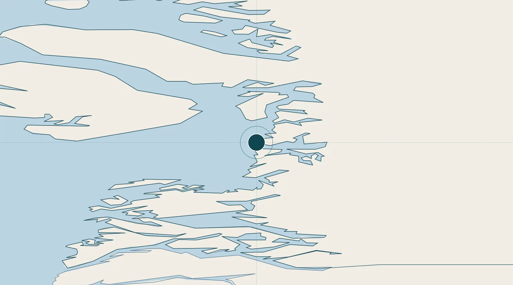
Location
Nearby Logistics Neighbours
Ports
- 1Qasigiannguit-Christianshab45 km
- 2Aasiaat90 km
- 3Qeqertarsuaq96 km
- 4Uummannaq166 km
- 5Marmorilik213 km
Cities
- 1Maarmorliik213 km
- 2Kangerlussuaq Havn250 km
- 3Seqi Olivine Mine473 km
- 4Toqqusaq486 km
- 5Nuuk (Godthaab)560 km
Airports
- 1Ilulissat Airport3 km
- 2Ilimanaq Heliport15 km
- 3Qasigiannguit Heliport44 km
- 4Ikamiut Heliport71 km
- 5Akunnaaq Heliport72 km
Trade Zones
- 1Crossroads Business Park2262 km
- 2FTZ No. 179 Madawaska2617 km
- 3Cape Breton Regional Municipality Foreign Trade Zone2619 km
- 4Québec City FTZ2727 km
- 5Saint John2792 km
DatabookThe Record of Consolidated Knowledge
Greenland beyond logistics?