Runway & Layout

Airport Specifications
ICAO code
BGNK
Airport class
Heliport
Scheduled service
Yes
Served city
Niaqornaarsuk
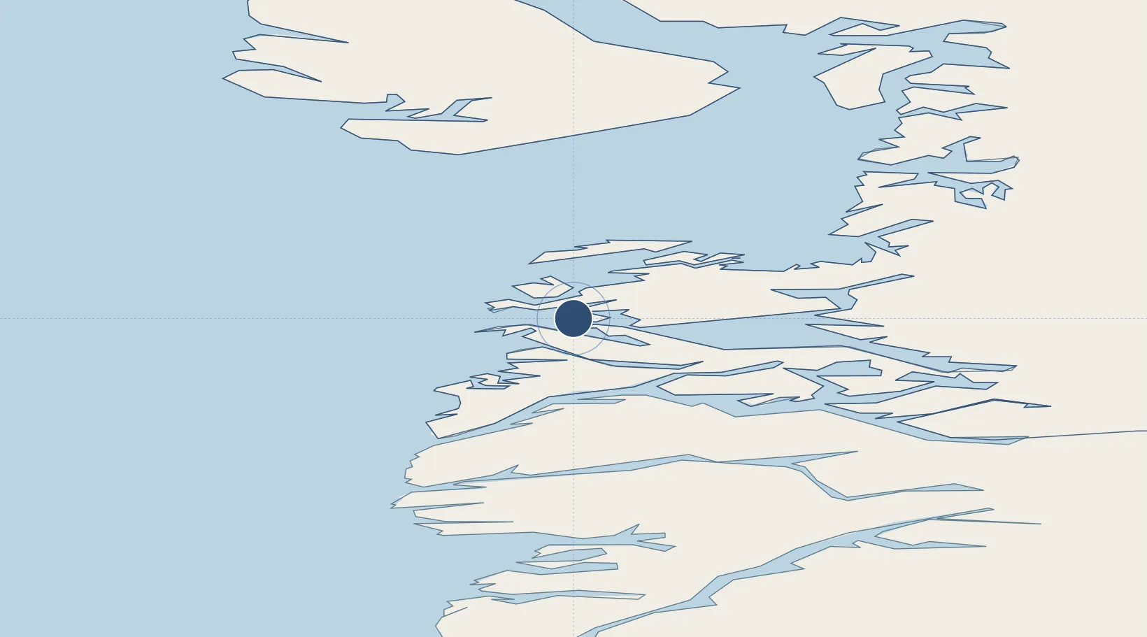
Location
Nearby Logistics Neighbours
Airports
- 1Iginniarfik Heliport17 km
- 2Kangaatsiaq Heliport26 km
- 3Ikerassaarsuk Heliport27 km
- 4Attu Heliport46 km
- 5Aasiaat Airport54 km
Cities
- 1Kangerlussuaq Havn163 km
- 2Maarmorliik328 km
- 3Seqi Olivine Mine368 km
- 4Toqqusaq376 km
- 5Nuuk (Godthaab)453 km
Ports
- 1Aasiaat53 km
- 2Qasigiannguit-Christianshab94 km
- 3Qeqertarsuaq114 km
- 4Illulissat (Jakobshavn)130 km
- 5Sisimiut151 km
Trade Zones
- 1Crossroads Business Park2147 km
- 2FTZ No. 179 Madawaska2488 km
- 3Cape Breton Regional Municipality Foreign Trade Zone2495 km
- 4Québec City FTZ2597 km
- 5Saint John2664 km
DatabookThe Record of Consolidated Knowledge
Greenland beyond logistics?